GOES visible
and infrared imagery
Ft. Belknap and northern Montana
Robert Rabin1
1NOAA/NSSL and
UW-Madison/CIMSS
BACKGROUND
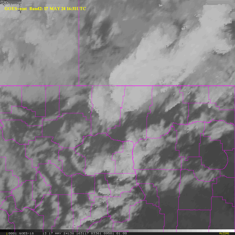
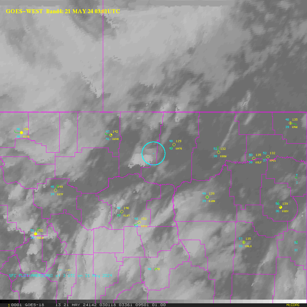
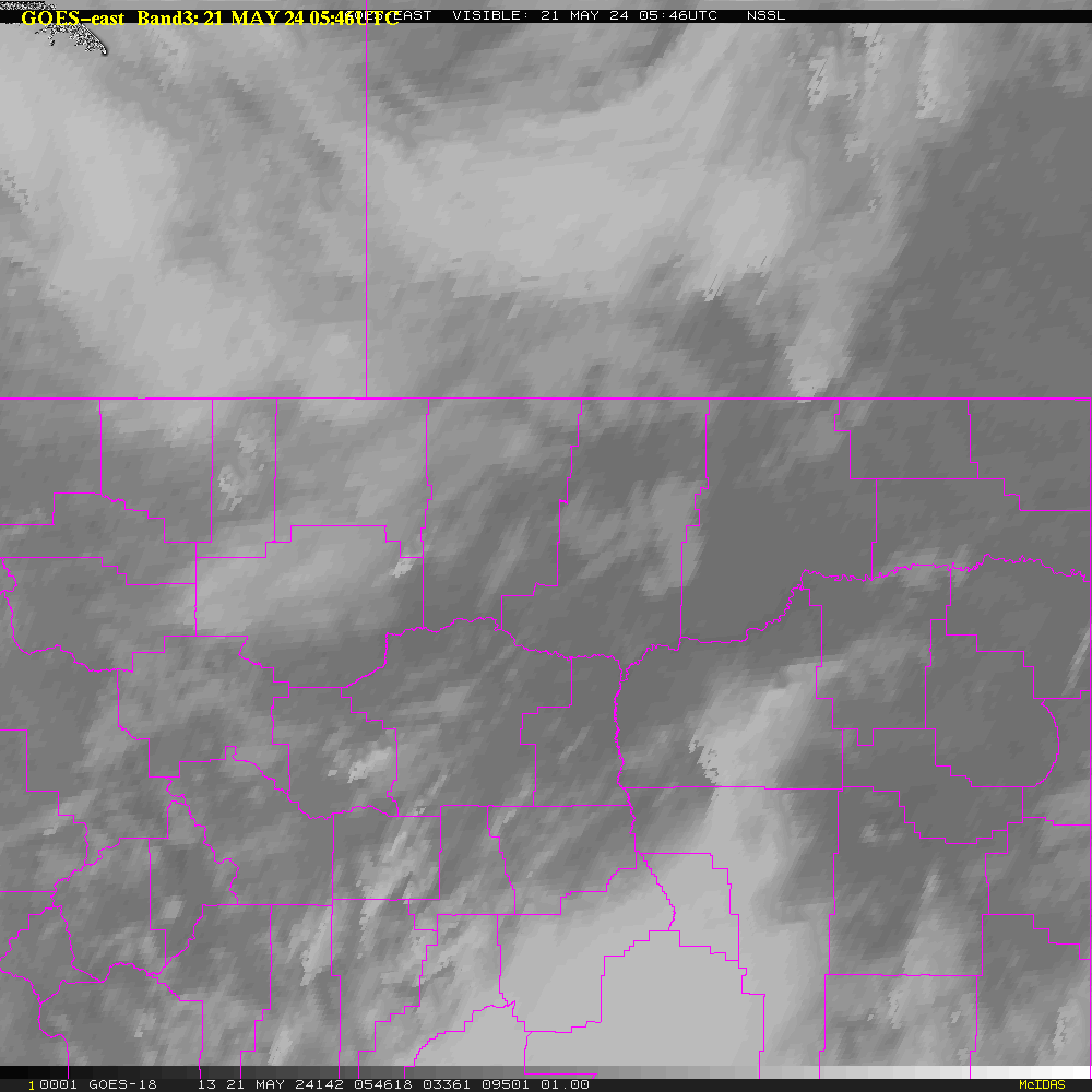
This web page provides near real-time satellite imagery for northern Montana and
surrounding areas. The background images linked in table below are from
the visible and infrared
channels of the NOAA geostationary satellite GOES-15 (western
satellite). The apparent offset of
clouds from their true location above the ground, parallax, has been addressed: a parallax correction has been applied to
the images using the cloud top temperature from band 4 (10.7 microns) and
a standard atmosphere temperature profile. The
images are updated at 30 minutes intervals.
NDVI (Normalized Difference Vegetation Index) shows the relative amount
of "greeness" of the landscape. It is based on a composite of daily
images from the AVHRR sensor aboard "low orbiting" NOAA satellites (USGS product).
White indicates cloud covered areas.
HTML5 applications used for interactive animations were
developed
by Tom Whittaker of the Space Science and Engineering Center SSEC,
University of Wisconsin-Madison.
Table 1. Latest images
for selected areas
Table
2. Latest daily movies (past few hours)
Disclaimer. The products from GOES or other
satellites
shown here are experimental. These have been generated within a
research environment and are not intended to be considered operational.
Timeliness, availability, and accuracy are sought but not guaranteed.
Return to CIMSS
(UW-Madison)
or NSSL (NOAA/NSSL).
Last update was 8 May 2017. Feedback.