1NOAA/NSSL and
UW-Madison/CIMSS
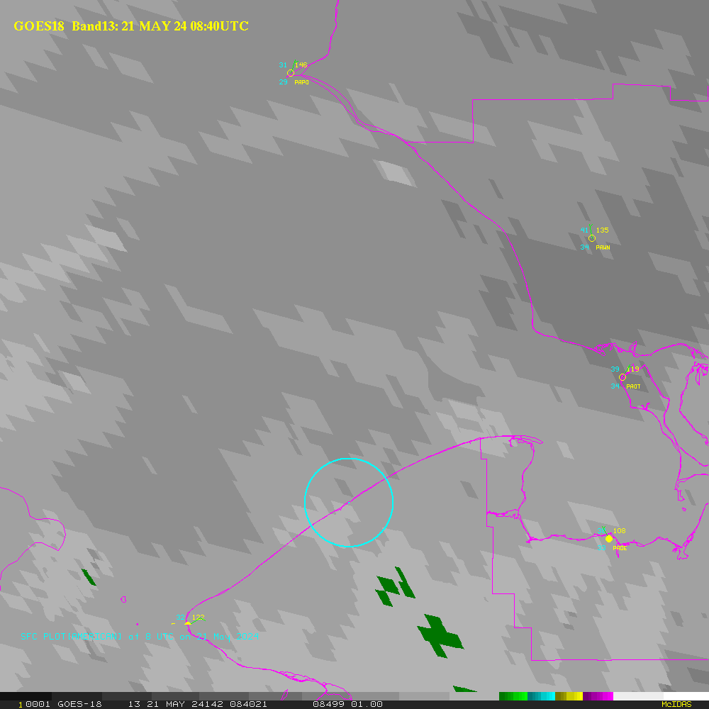
| Infrared (thermal) Image |
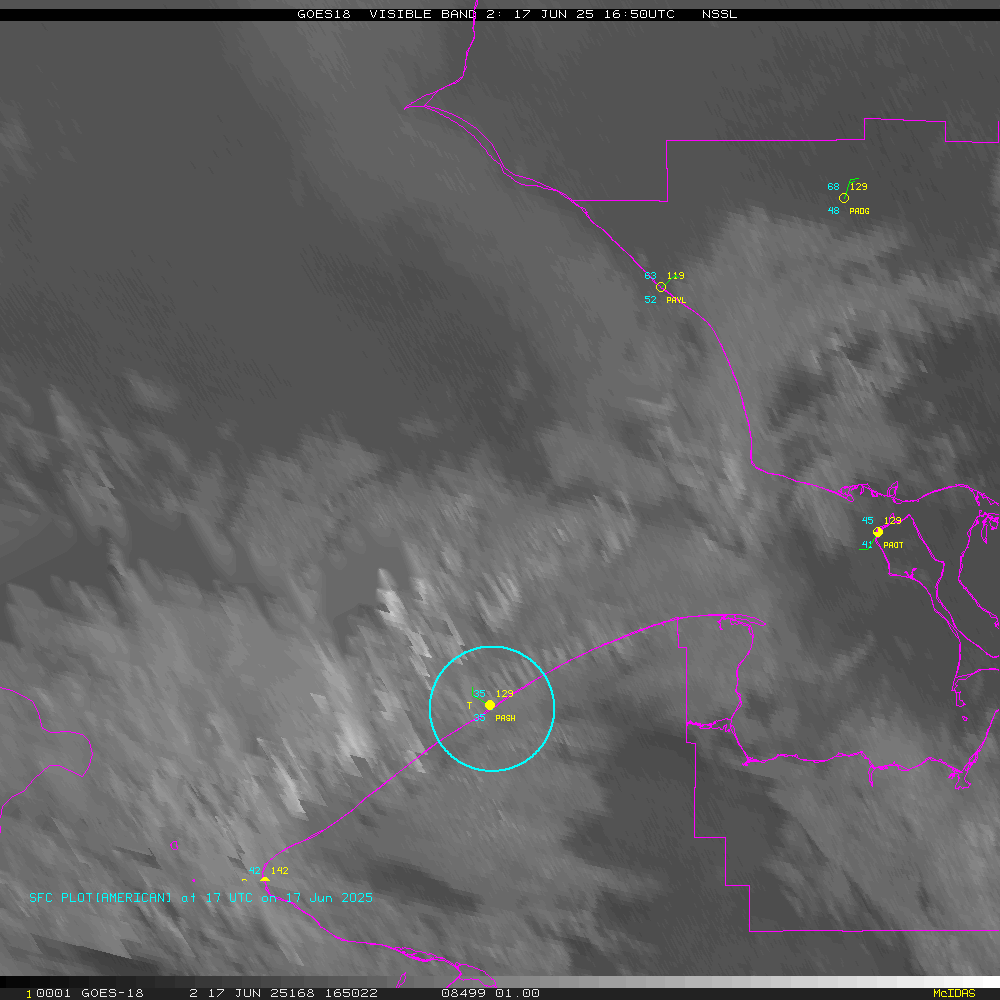
Visible (daylight only) |
|
| TERRA Satellite |
X |
X |
| AQUA Satellite |
X | X |
| Visible 1-km
imagery |
Infrared band 4 (10.7 micron) |
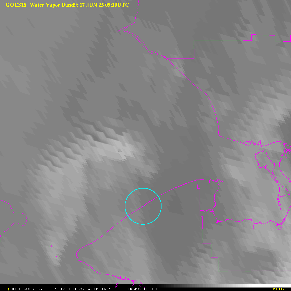
Water vapor band 3 (6.5 micron) | Visible and overlays |
| Visible |
Thermal (Clouds, surface) |
Water vapor | Comparisons |
| Visible 1-km imagery | Infrared band 4 (10.7 micron) |
|
Visible with overlays | |
| Visible |
Thermal (Clouds, surface) |
Water Vapor |
Comparisons |
Return to CIMSS
(UW-Madison)
or NSSL (NOAA/NSSL).
Last update was 9 July 2014. Feedback.