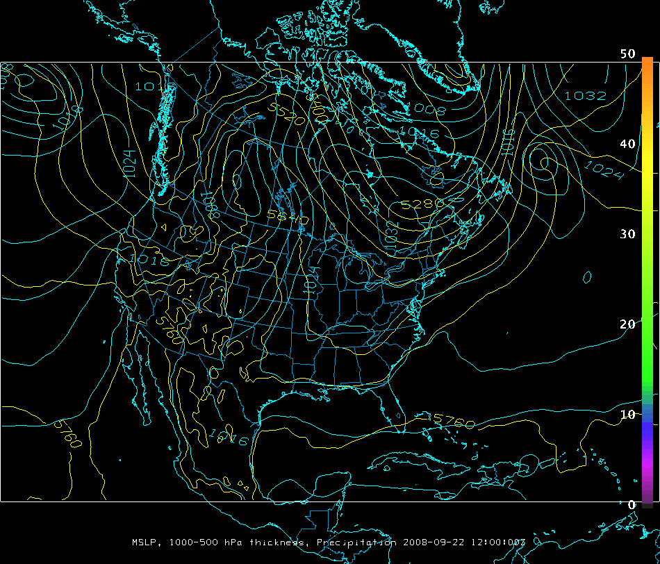
dbCRAS model output
|
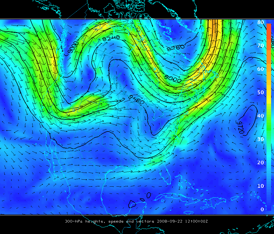
dbCRAS model output
|
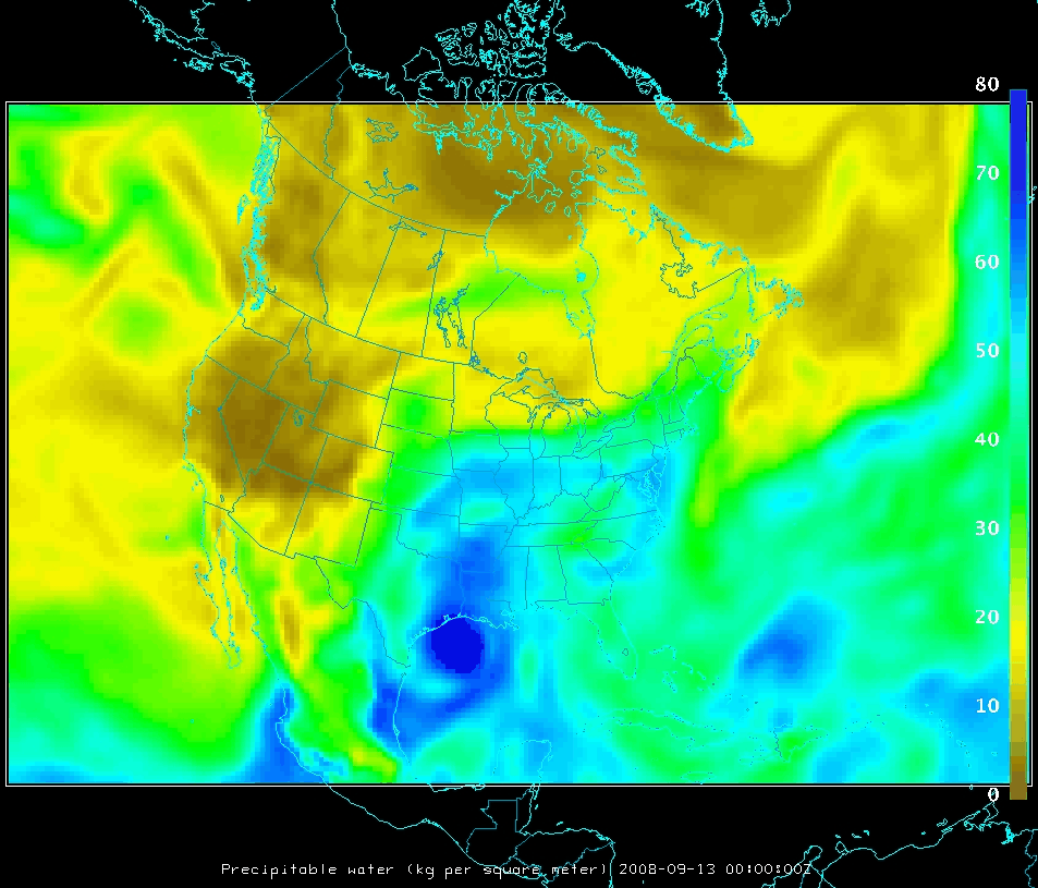
The MODIS data does change the initial fields during the 12-h 'preforecast'
run. Check out this WV loop and
this loop of precipitable water
to see how those forecast fields are changed by the insertion of MODIS data
as Hurricane Ike was making landfall. These loops are from 00-12 UTC for the
run that starts at 12 UTC on 13 September