
|
McIDAS RETROSPECTIVE: VOLUME ONE |

Earth centered Latitude (LAT) 0:00 Longitude (LON) 0:00, 17 September 1993, 1200 UTC, METEOSAT derived data (Africa, cloudy Europe), J. Mecikalski |

Earth centered LAT 0:00 LON 90:0E, 17 September 1993, 1200 UTC, METEOSAT derived data (Asia under clouds, Australia, East Africa), J. Mecikalski |
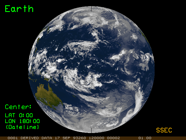
Earth centered LAT 0:00 LON 180:0E (dateline), 17 September 1993, 1200 UTC, GMS derived data (Australia, Pacific Ocean), J. Mecikalski |

Earth centered LAT 0:00 LON 135:0W, 17 September 1993, 1200 UTC, GOES-WEST derived data (North and South America, Pacific Ocean), J. Mecikalski |
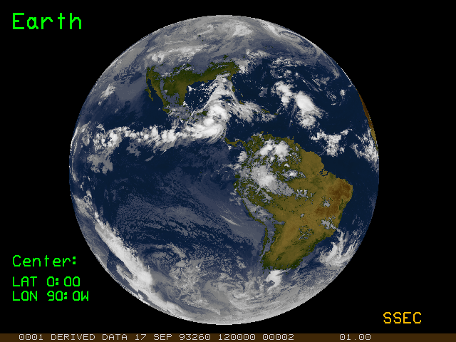
Earth centered LAT 0:00 LON 90:0W, 17 September 1993, 1200 UTC, GOES-EAST derived data (North and South America), J. Mecikalski |
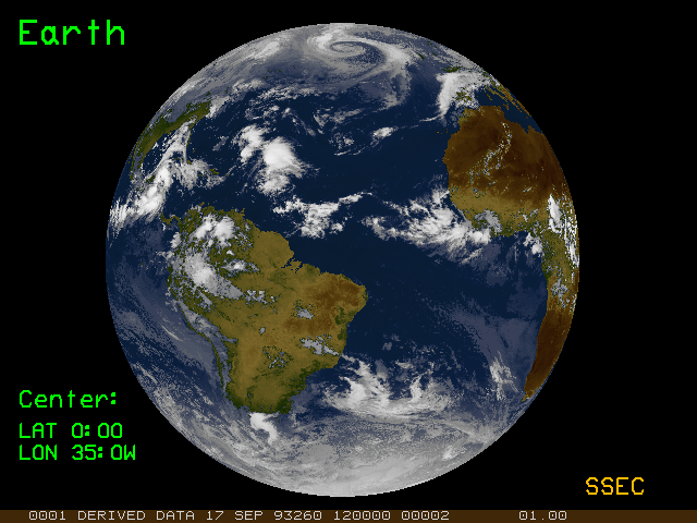
Earth centered LAT 0:00 LON 35:0W, 17 September 1993, 1200 UTC, GOES-EAST/METEOSAT derived data (North and South America, Atlantic Ocean, West Africa, cloudy Europe), J. Mecikalski |
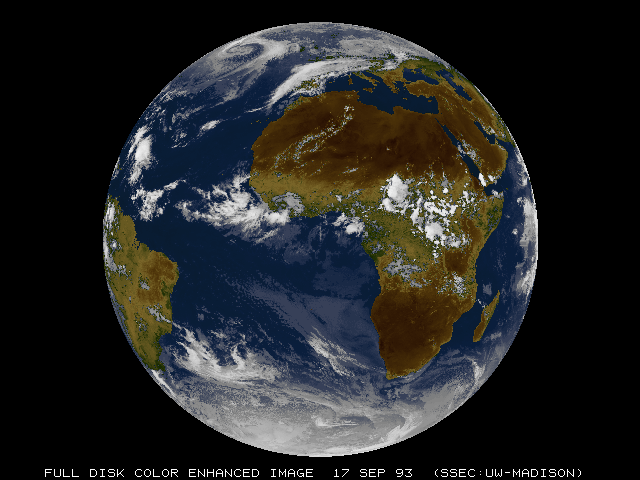
Color-enhanced Earth, 17 September 1993, METEOSAT, M. Lazzara |
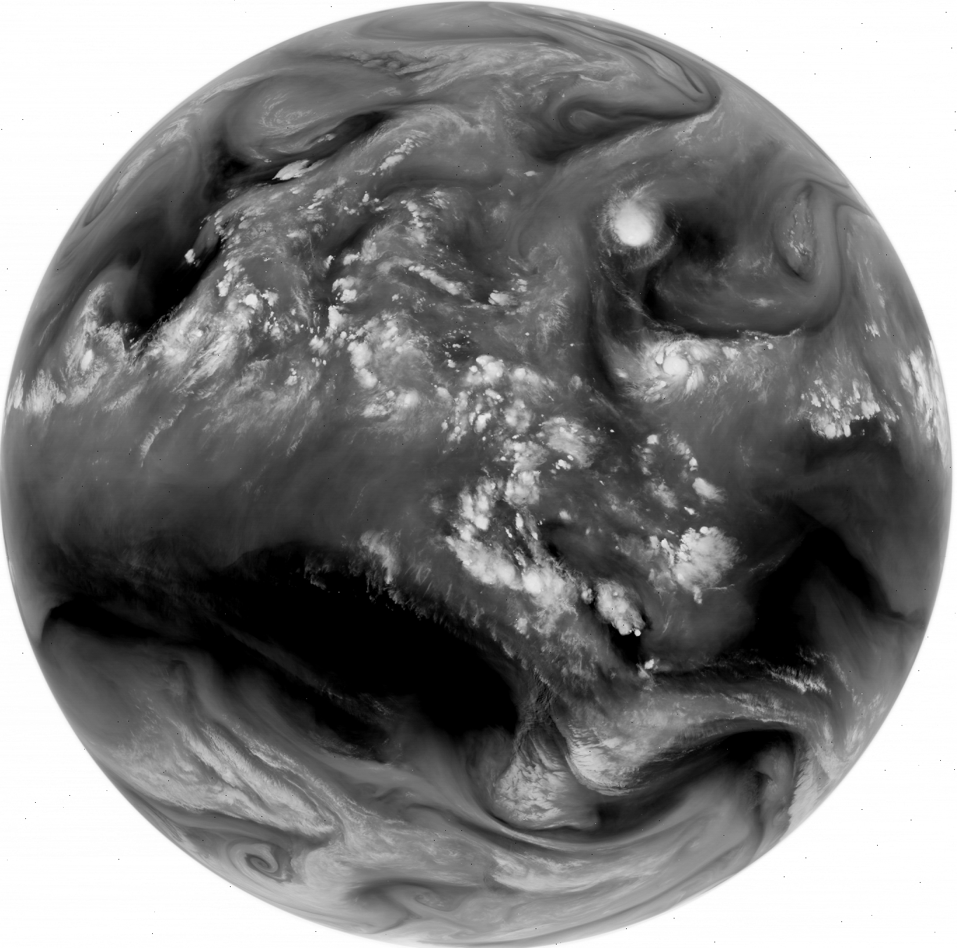
GOES-East water vapor image from April 1, 1995 |
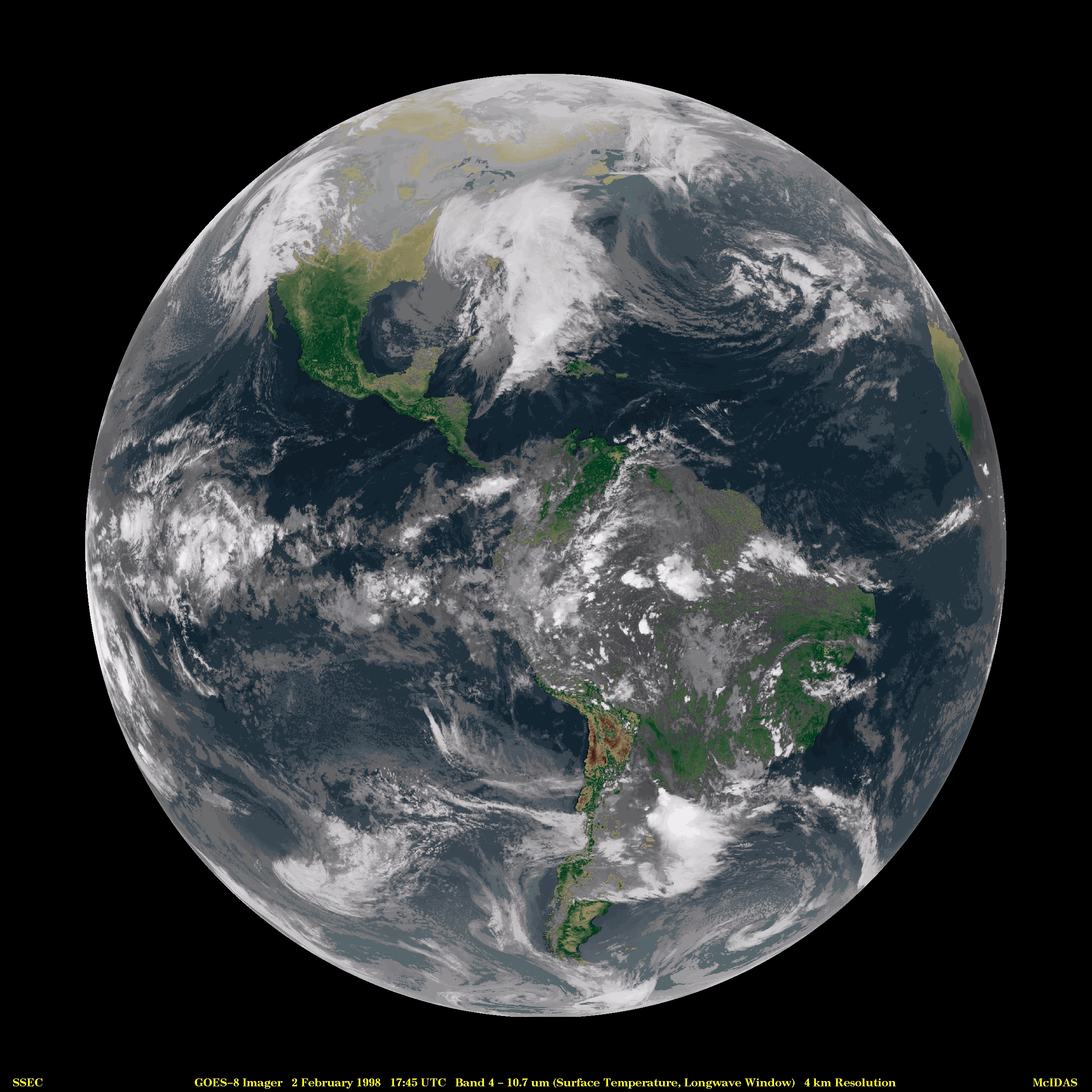
GOES-8 Imager 10.7 micron surface temperature, Longwave Window, 2 February 1998, 1745 UTC |