Moore, Oklahoma Tornado
On Monday 20 May 2013 an EF-5 tornado devastated the community of Moore, Oklahoma. With winds in excess of 200 mph, the tornado left 24 dead in its wake.
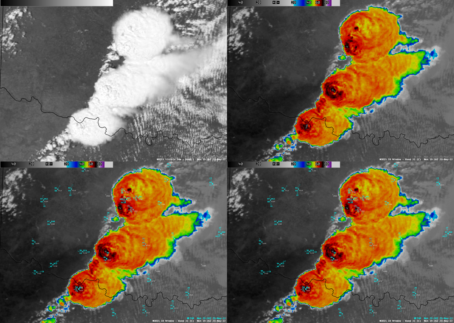
CIMSS researcher Scott Bachmeier has compiled for the CIMSS Satellite Blog a series of images and animations taken from a number of weather satellite sensors depicting the thunderstorms that generated the tornado. The Blog post details comparisons between satellite sensors, as well as between the visible and infrared channels on the same sensor along with products derived from satellite data, to demonstrate their value in predicting and monitoring severe weather.
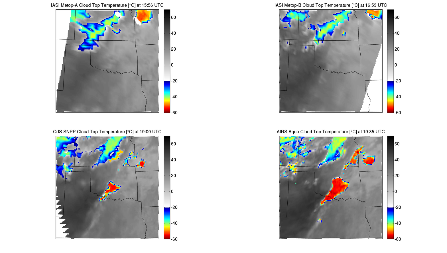
Specifically, researchers can use satellite data to measure and compare cloud top temperatures to look for developing storms. Extreme cold cloud top temperatures are often associated with powerful updrafts and severe thunderstorms.

Cloud top temperature retrieved from IASI on Metop-A, IASI on Metop-B, CrIS on Suomi-NPP and AIRS on Aqua. Credit: Elisabeth Weisz and Nadia Smith, SSEC
by Leanne Avila and Jean Phillips

