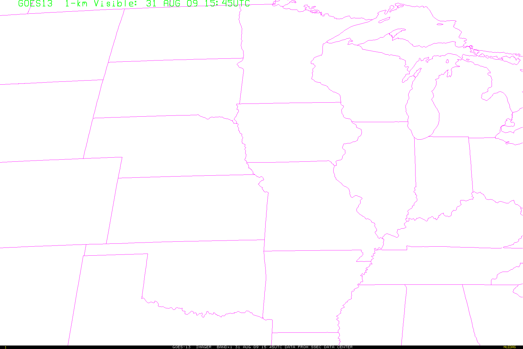
GOES-13 Visible
Imagery
Robert Rabin1,2
NOAA/NSSL1, CIMSS2
BACKGROUND
NOTE: GOES-13 is
operating on a similar schedule as GOES-12 during August-October
2008.
This satellite provides advantages in the following areas:
1) maintains coverage during eclipse periods,
2) more stable navigation than previous GOES
satellites.
3) brighter visible data and improved Signal to
Noise Ratio
GOES-13 data is
experimental and is being made available for assessment from
NOAA/NESDIS. The data shown here is obatined from a receiving station
at SSEC.
Latest Image
Most recent animation
Note: Default images are not at full
resolution. To enhance resolution, click left mouse button on desired
location. Roaming is enabled by holding the left button down while
moving the mouse.
Flash based applications used for interactive animations were
developed
by Tom Whittaker of the Space Science and Engineering Center SSEC,
University of Wisconsin-Madison.
Disclaimer. The products from GOES or other
satellites
shown here are experimental. These have been generated within a
research environment and are not intended to be considered operational.
Timeliness, availability, and accuracy are sought but not guaranteed.
Return to CIMSS
(UW-Madison)
or NSSL (NOAA/NSSL).
Last update was 20 August 2008. Feedback.