McIDAS-X Learning Guide
Version 2020
[Search Manual]
[Table of Contents]
[Go
to Previous]
[Go
to Next]
Graphics and the Cursor - Generating Graphics
In the following two exercises, you will generate maps and create freehand drawings.
Generating Maps
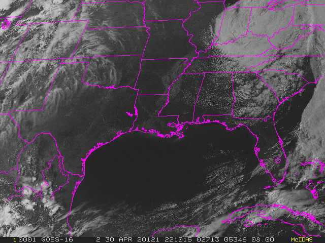
- Display the second most recent GOES-16 0.5km Visible image on frame 1
centered at Baton Rouge, Louisiana, and decrease the resolution by a factor of 8.
Type: IMGDISP G16FD.-1 1 STATION=KBTR MAG=-8 BAND=2 SF=Y
- Generate a high resolution map on the image.
Type: MAP VH
- Highlight the states of Kansas and Tennessee, by plotting
the map of these states in a different color (color level 3).
Type: MAP X 3 STATE=KS TN
- Display the eighth most recent G16FD image on frame 2 centered at Baton
Rouge, and generate a coastal outline map in graphics color level 5, red.
Type: IMGDISP G16FD.-7 2 STATION=KBTR MAG=-8 BAND=2 SF=Y;MAP L 5
The L parameter specifies a low resolution map conforming to the satellite
image.
- Turn the satellite image off and on so the map is easier
to see.
Press: Alt K
Press: Alt K
- Turn the graphics off and back on, to see the image without
the map.
Press: Alt W
Press: Alt W
- Erase the image in frame 3. Show frame 3 and generate a
Mercator map of the USA that includes all counties in the USA.
Type: ERASE I 3
Type: SF 3;MAP USA 3 COUNTY=ALL
- Display an infrared image on frame 4 and generate a map with political
boundaries, coastal boundaries, and latitude and longitude lines.
Type: IMGDISP G16FD.-1 4 STA=KBTR MAG=-4 BAND=13 SF=Y
Type: IMGDISP G16FD.-1 4 STA=KBTR MAG=-4 BAND=13
Type: MAP L 3
Notice that the political boundaries are in graphics color level 5 (red)
and the coastal boundaries are in graphics color level 3 (yellow).
Adding Text and Freehand Drawings
In this exercise, you will write text to a frame with the ZA command
and create freehand drawings with the ZLM command.
- Show frame 1 and erase its graphics.
Type: SF 1;ERASE G 1
- Position the cursor at TV line 30 and element 100. Add the
following annotation to the frame describing the image.
Type: PC T 30 100;ZA 5 10 "GOES VISIBLE FOR (DAY) AT (TIME) UTC
The phrase GOES VISIBLE FOR (the image day) AT (the image time) UTC is written on frame
1. The first parameter of the ZA command (5) indicates the graphics color
level; the second parameter (10) indicates the height of the letters in pixels.
- Show frame 2 and erase both the image and the graphics.
Type: SF 2;ERASE
- Activate the freehand drawing command ZLM.
Type: ZLM DRAW
Press and hold the middle mouse button and draw something
on the screen by moving the mouse.
- End the draw option by pressing the right and middle mouse
buttons simultaneously, or:
Press: Alt Q
[Search Manual]
[Table of Contents]
[Go
to Previous]
[Go
to Next]