VIIRS Direct Broadcast Data Displayed in AWIPS for Alaska NWS Operational Forecasters
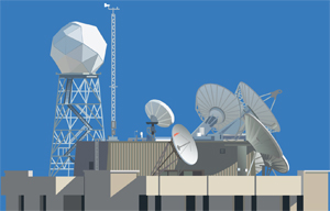
Kathy Strabala and Jordan Gerth were part of a team from CIMSS who worked with members of the Geographic Information Network of Alaska (GINA) in Fairbanks to automate the acquisition, processing, and distribution of Suomi National Polar Partnership (NPP) Visible Infrared Imager Radiometer Suite (VIIRS) Direct Broadcast data for display in the Advanced Weather Interactive Processing System (AWIPS) at the National Weather Service (NWS) forecast offices in Alaska.
The first step in this process was to install the Community Satellite Processing Package (CSPP) VIIRS Science Data Record (SDR) software at GINA, followed by running a portable tool to remap, rescale and reformat the SDR H5 files into the standard NetCDF files required for display in AWIPS. Distribution to the NWS offices take place using the Unidat Local Data Manager (LDM). The VIIRS data will be useful to the NWS forecasters because it offers new bands (Day/Night Band), a larger swath size (3000 km) and more consistent spatial resolution to the end of the swath than previous polar imagers.

Jim Nelson, Science and Operations Officer (SOO) at the NWS Forecast Office in Anchorage, Alaska, examines the first image of the VIIRS Day/Night band as displayed in AWIPS. The data was captured using the DB antenna at GINA in Fairbanks, AK, automatically processed using CSPP software, converted using a portable remapping tool for display in AWIPS, and sent to Anchorage using the LDM in real-time.
Back to Front Page

