Through the Atmosphere: Summer/Fall 2017
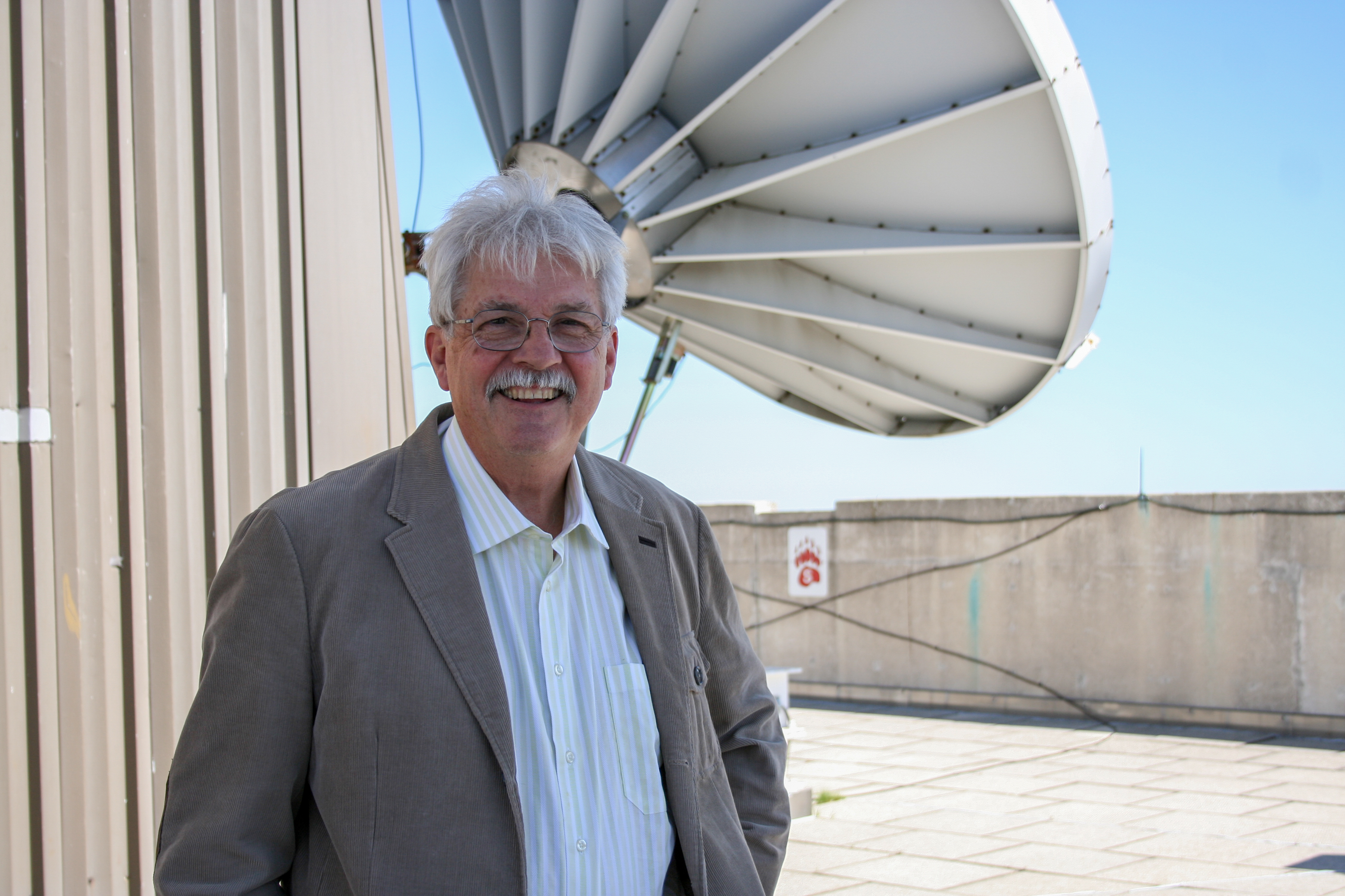
Paul Menzel, interim Director Cooperative Institute for Meteorological Satellite Studies (CIMSS) Credit: SSEC
Message from the director:
by Paul Menzel
This issue of Through the Atmosphere covers some recent advances in remote sensing that utilize GOES-16 and Suomi NPP data – advances realized with the ingenuity of SSEC and CIMSS researchers and the students working with them.
Our global society is becoming increasingly concerned with maintaining carbon balances, controlling air pollution, and protecting water and food supplies for a world population that continues to grow. Now, satellite data are making these environmental challenges more visible, helping to quantify the problems.
Satellite data have become essential for studying and addressing environmental issues, especially those that occur in less trafficked locations and on spatial scales that are difficult to monitor via conventional means.
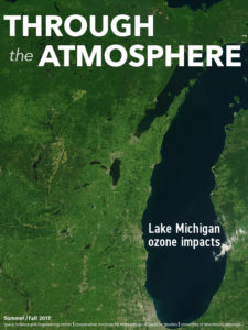
The cover story explains this summer’s Lake Michigan Ozone Study that was conducted to study pollution movement along the western shoreline of Lake Michigan. SSEC scientists partnered with federal researchers to deploy our mobile instrument lab and to gather measurements from ground, airplane, and satellite based instruments.
A recent dissertation characterizes progress in modelling the intercontinental transport of air pollution that affects human health, specifically Sahara Desert dust particles swept into the Mediterranean Basin.
Through the Atmosphere: Summer/Fall 2017
In a study conducted closer to home, SSEC scientists are developing ways to predict the occurrence of severe thunderstorms in the Southern Great Plains by merging satellite estimates of convective available potential energy, known as CAPE, with ground observations.
Another new statistical merging of satellite and conventional data is showing promise for estimating the probability of severe weather hazards such as tornadoes. This NOAA and CIMSS collaboration highlights the value of the government-university partnership.
Finally, the SSEC-developed RealEarth application crystalizes the importance of making satellite images and the associated products available as soon as possible, in near real-time, especially to forecasters who predict hazardous weather conditions. RealEarth now offers integrated GOES-16 ABI spectral bands in layered composites and animations along with many other imagery products.
SSEC and CIMSS scientists, their colleagues and students, understand the societal value of developing research and applications using remotely sensed data. This issue provides a snapshot of our commitment – and contributions – to helping to solve the most pressing environmental problems.
This Director’s Note originally appeared in the Summer/Fall 2017 issue of Through the Atmosphere, SSEC’s biannual magazine. Read the latest issue and see past issues online here: http://www.ssec.wisc.edu/through-the-atmos/