|
The SeaWiFS (Sea-viewing Wide Field-of-view Sensor)
instrument placed in orbit in 1997 uses just such an approach,
scanning 8 wavelength bands strategically located between 402 and
885nm of the electromagnetic spectrum and using the data to infer
ocean color properties. This instrument, carried by the OrbView-2
(AKA SeaStar) satellite, is in constant low Earth orbit such that it
provides images representing complete coverage of the surface every
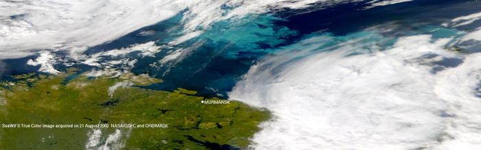
48 hours. The image below shows how a phytoplankton bloom looks from
space to the human eye, as captured by SeaWiFS.
|
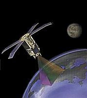
Artist's depiction of the OrbView-2 (SeaStar) satellite carrying
SeaWiFS
Image courtesy of the SeaWiFS Project
|