GOES satellite visible
and infrared imagery
Arviat and southern Nunavut
ᐊᕐᕕᐊᑦ
ᑭᕙᓪᓕᖅ, ᓄᓇᕗᑦ
Robert Rabin1
1NOAA/NSSL and
UW-Madison/CIMSS
BACKGROUND
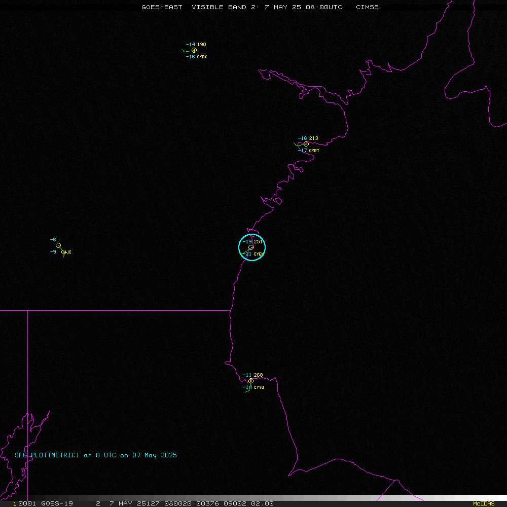
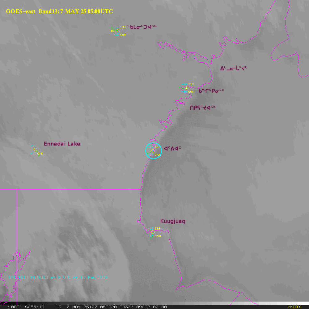
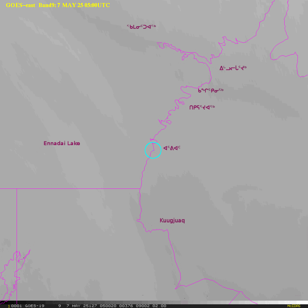
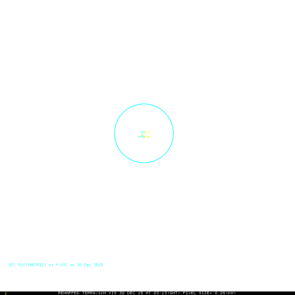
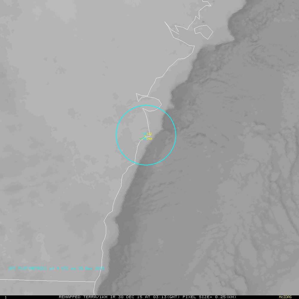
This web page provides near real-time imagery for the Arviat (ᐊᕐᕕᐊᑦ) region of
Nunavut (ᓄᓇᕗᑦ) and the northwest Hudson Bay (Kangiqsualuk ilua) area. The background images linked
in table below are from
the visible and infrared
channels of the NOAA geostationary satellite GOES-16 (eastern
satellite). The apparent offset of
clouds from their true location above the ground, parallax, has been
addressed: a parallax correction has been applied to
the images using the cloud top temperature from band 13 (10.3 microns)
and
a standard atmosphere temperature profile. The
images are updated at 30 minutes intervals. Circles on the images indicate 25 km distance from Arviat.
Flash based applications used for interactive animations were
developed
by Tom Whittaker of the Space Science and Engineering Center SSEC,
University of Wisconsin-Madison. This requires Flash to be installed on your computer for the animations to work.
Table 1. Latest images
for selected areas
Table
2. Latest daily movies (past few hours)
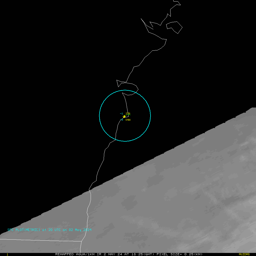
Table 3. Low Earth Orbiting Satellite imagery (250 meter to 1km resolution imagery)
|
Visible
|
Infared
|
Latest NASA/MODIS
(TERRA and AQUA) (~12 hr updates)
|
X
|
X
|
Latest NOAA satellite (~3hr updates)
|
X
|
X
|
Disclaimer. The products from GOES or other
satellites
shown here are experimental. These have been generated within a
research environment and are not intended to be considered operational.
Timeliness, availability, and accuracy are sought but not guaranteed.
Return to CIMSS
(UW-Madison)
or NSSL (NOAA/NSSL).
Last update was 9 July 2014. Feedback.