Tristan L’Ecuyer: Atmospheric, climate research group leader
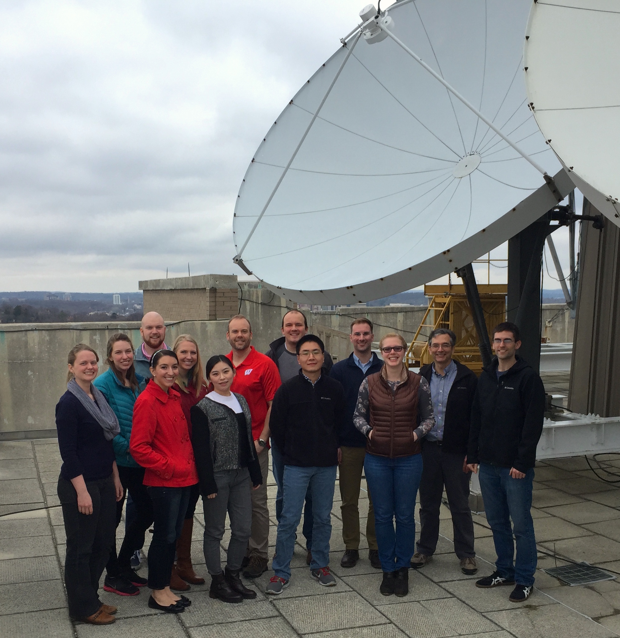
L’Ecuyer (center back in red) and his research group. Credit: Pete Pokrandt, SSEC.
“Opening observational portals into Earth’s climate system,” beckons the homepage of the Atmospheric Radiation and Climate research group, a team of students and scientists in the University of Wisconsin-Madison’s Department of Atmospheric and Oceanic Studies (AOS).
Led by AOS associate professor Tristan L’Ecuyer, the group’s research encompasses a range of foci: Earth’s energy balance, cloud-aerosol interactions, climate, satellite remote sensing, and ground validation. The current group comprises 12 master’s and PhD students, and four researchers (including L’Ecuyer).
Earning both his bachelor’s and master’s degrees in physics, L’Ecuyer has always had an eye on how his studies could be applied to make direct realworld change. He earned a PhD in Atmospheric Science at Colorado State University, and then started a post-doc position working on NASA’s CloudSat satellite mission.
Using CloudSat data, he explains, he and other scientists were able to examine not just the tops of clouds, but scan through them, allowing them to study the processes within. He worked on the mission extensively for 10 years, later as a research scientist, and it was there that he developed some of the fundamental principles that guide the Atmospheric Radiation and Climate research group today.
L’Ecuyer started out as an assistant professor at UW-Madison in 2011, and established the group shortly afterward. His goal was to study the intricate, interconnected processes involved in the Earth’s changing climate, such as atmospheric energy balance and the global water cycle. Not only does the group aim to better understand these phenomena, but to improve the methods by which data are collected and integrated into climate models.
About half of L’Ecuyer’s funding still comes from CloudSat; he and other researchers use data detected by the radar onboard to study global rain and snowfall. The group also uses other satellites within NASA’s Earth Observing System to develop and distribute new datasets for studying how energy emitted from the Earth flows through the different layers of the atmosphere which has a strong influence on weather conditions.
Aside from those satellite products, the group’s research emphases fall under three general categories: Earth’s Energy Balance, including refining observational estimates of the global energy balance that defines our climate; Climate Applications, including applications of satellite data to understand the influence of clouds on Arctic sea ice extent, study the factors responsible for the rapid melting of the Greenland ice sheet, the role of sunlight and thermal radiation in defining heavy rainfall patterns in the tropics, and evaluating how well climate models simulate the flow of energy through the atmosphere; and Aerosol Effects – primarily, quantifying the effects of pollution on rainfall around the world.
The work they do is highly collaborative. For example, group-members are working with colleagues in NASA’s Energy and Water Cycle Study (NEWS) program to continuously improve satellite-based estimates of the flows of energy and water through the climate system and the vertical structure of atmospheric heating to improve weather and climate predictions.
Additionally, a paper published last year by the American Meteorological Society, on which L’Ecuyer was lead author, was co-authored by scientists from a stunningly wide variety of top institutions: NASA Goddard Space Flight Center, NASA Langley Research Center, Princeton University, NASA Jet Propulsion Laboratory, MIT, the University of Washington, and a number of others. Benchmark estimates of global energy and water cycle values established in the paper, titled “The Observed State of the Energy Budget in the Early Twenty-First Century,” are an important step toward identifying issues in today’s climate models so that their predictions may be improved in the future.
“We use satellite measurements to try to verify how well a climate model works,” L’Ecuyer says. “Once we know what’s going on, we can compare the data to climate models and identify how we can improve them.”
Being housed in the Atmospheric, Oceanic and Space Sciences building on the UW-Madison campus – home to the Space Science and Engineering Center (SSEC), the Cooperative Institute for Meteorological Satellite Studies (CIMSS), the Center for Climatic Research (CCR), and the AOS department – is a major asset for collaboration as well.
“For me it’s really great having SSEC, CIMSS, and CCR in the same building as us, because it gives us access to large computing resources, data, and the people who have the expertise to use them,” he says. “It’s a really big benefit, and it’s one of the main reasons to come to Wisconsin for research in this field — these institutions are recognized by reputation nationally and internationally.”
L’Ecuyer has worked with a number of SSEC scientists, such as Mark Kulie, Matthew Lazzara, Bob Holz, and Andy Heidinger on various research projects. He also says it’s been helpful to join forces with CIMSS director and AOS professor Steve Ackerman on student mentorship, as they both lead large research groups.
“We try to combine our efforts,” he says. “Our students share ideas, since they are often working on related topics: using satellite observations to understand weather and climate. They share their experiences and expertise and do career-building.”
L’Ecuyer’s verve for applied sciences, thinking about how the research will impact the public at large, is a value he tries to impart on students coming into the program – many of whom, like himself, did not start out with an atmospheric sciences background. Another point of emphasis, he says, is diversifying their skill sets: learning how to use observational data, satellite observations, and models.
“I think this has the potential to open up more doors and possibilities. My philosophy, my approach, is versatility. More and more jobs are looking for skills in this, this, and that — not just one specific area,” he says.
One aspect of this – fieldwork – is particularly near and dear to him.
“To appreciate the uncertainty of data, you need to go out and make real measurements,” he says.
In the winter of 2007, L’Ecuyer and other members of the group were involved in the Canadian CloudSat/ CALIPSO Validation Project (C3VP), a field campaign led by the Meteorological Service of Canada. They were in charge of operating a mobile, ground-based instrument, NASA Jet Propulsion Laboratory’s W-band Airborne Cloud Radar (ACR); conducting quality-control for its W-band observations; and analyzing the data to develop a new CloudSat snowfall retrieval algorithm.
In the fall of 2010, the group coordinated an international collaboration called the Light Precipitation Validation Experiment (LPVEx), a field campaign designed to evaluate and improve satellite precipitation estimates at high latitudes. Scientists from the United States, Finland, and Canada worked together to make ground-based, aircraft-based and satellite-based measurements of liquid and frozen precipitation in and around Helsinki, Finland. The group is currently analyzing the data in order to evaluate and improve CloudSat light rainfall and snowfall retrieval algorithms.
The group also participated in a follow-on experiment, the Global Precipitation Mission (GPM) Cold-season Precipitation Experiment (GCPEx), which was led by scientists at NASA’s Goddard Space Flight Center over the winter of 2012. GCPEx measured properties of falling snow over Ontario, Canada, including radiative signatures and snow microphysics associated with a strong lake-effect snowstorm that dumped more than 18 inches of snow in about eight hours. These datasets will be used to developing and evaluate satellite snowfall retrievals from CloudSat and GPM observations.
Next up for the group is a large, five-year project based in Namibia, Africa, called Observations of Aerosols above CLouds and their intEractionS (ORACLES). A group of more than 90 scientists, including students from the Atmospheric Radiation and Climate Resarch Group, will collect data using multiple aircraft to understand how smoke from fires in Africa affect clouds, rainfall, and climate.
Looking to the future, L’Ecuyer has also been in talks with scientists in SSEC’s Lidar group and the SSEC Portable Atmospheric Research Center (SPARC) to possibly collaborate on fieldwork. Combining ground-based data with aircraft and satellite remote sensing, L’Ecuyer explains, has the ability to take fieldwork to the next level.
“You can make good measurements on the ground, but they just represent one point. The goal of a satellite is to take that measurement and extrapolate it over the whole Earth,” he says. “You’re doing the same thing, but all over the planet.”
Developing a familiarity with applying satellite data now will better enable students to think about next-generation technologies for the future, L’Ecuyer says, empowering them to take on leadership roles.
“Scientists are always thinking about future satellite missions, so I try to have my students prepare: ‘What are we not measuring now?’ Students can be developing the next concepts,” he says. “That puts them in the position to be the science leaders of tomorrow.”
by Sarah Witman