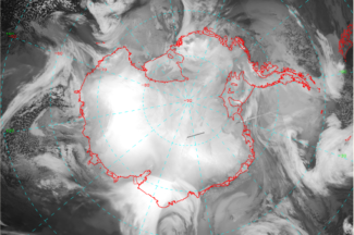
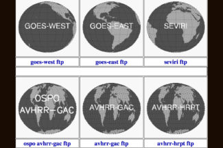
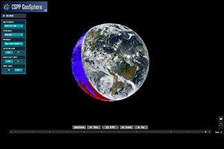
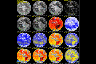
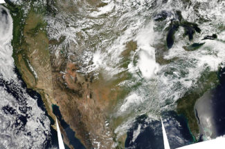
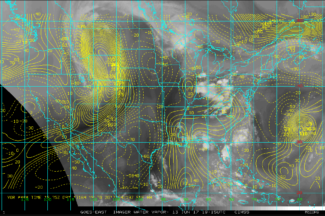
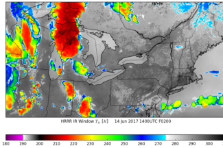
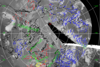
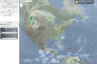
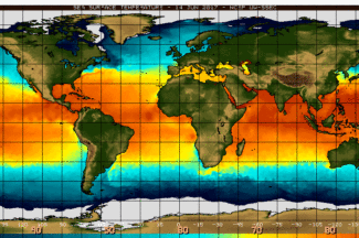
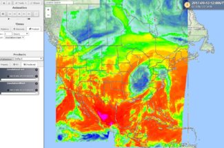
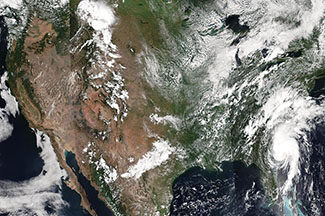
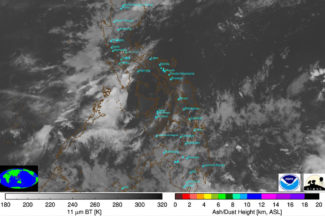
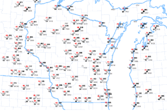
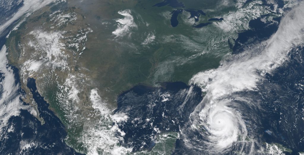
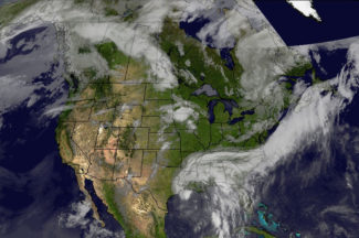
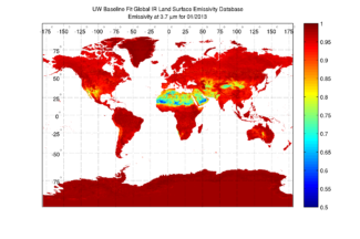
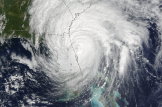
Antarctic satellite
images and animations, synoptic weather data, iceberg images,
model data ... (Antarctic Meteorological Research Center)
Images and Data
Real-Time Imagery and Data
Antarctic images, movies, and weather data
Atmospheric Emitted Radiance Interferometer (AERI)Ground-based remote sensing of temperature and water vapor profiles, sea surface temperature/emissivities, cloud properties ...
CIMSS Regional Assimilation System Forecast (CRAS)Forecasts of various atmospheric parameters, including forecasted satellite images.
CLAVR-x Near Real-Time ResultsDiagnostic looks of the non-operational STAR CLAVR-x system
Fire monitoring satellite imagesAutomated Biomass Burning Algorithm (ABBA) GOES satellite images of fires occuring in the western hemisphere (North and South America)
Geostationary weather satellite imagesGOES (North and South America), Meteosat (Europe and Africa) , MTSAT (Asia and Australia)
Geostationary Satellite Image BrowserWeb page interface for viewing GOES, MTSAT, and Meteosat satellite pictures and movies in multiple image channels and more
Global Satellite Data CollaborationsView, mark-up and discuss GOES, MTSAT, Meteosat, and Derived Products images with other people via this web-based, Java interface.
GOES Derived ProductsPrecipitable Water, Lifted Index/CAPE, Cloud Top Pressure, Ozone, Sea-Surface Temperature, ...
GOES US Full Resolution Visible Image BrowserFull resolution, real-time GOES East/West composite satellite image web page interface with zoom and animation features
Google Earth ImageryReal-time satellite imagery (AVHRR, MODIS ...) provided in Google Earth format.
Ground-based Atmospheric Monitoring Instrument Suite (GAMIS)Information and access to real-time data from environmental instruments (rooftop weather observations and cameras, Lake Mendota Buoy ...)
Hurricane and tropical storm imagesSatellite images and derived parameters (winds, vorticity ...) focusing on hurricanes and tropical storms
IDEA: Infusing satellite Data into Environmental Applicationsair quality analysis / forecasting data and images
Kalpana Image and Navigation Quality TilesKalpana imagery viewer
Mesoscale windsUpper level wind analysis from GOES water vapor winds
MODIS TodayReal time MODIS imagery accessible via web browser and Google Earth
PDA Animated Weather (PAW)PAW is a PDA friendly weather web site that contains real-time images, graphics and text formated for display on PDA devices equiped with high resolution color displays.
Polar orbiting weather satellite imagesContinental U.S. Terra/Aqua MODIS pictures and movies
Real-Time Polar Remote Sensing ProductsPlots of near real-time surface, cloud, and radiative properties over the Arctic and Antarctic, using AVHRR satellite data and the CASPR software package
Satellite composite imagesincluding the SSEC Global Montage, Rotating Globe movie, and Antarctic composite
Sea Surface TemperatureSatellite derived sea surface temperatures.
Solar InsolationDaily solar insolation maps for the whole US, parts of Canada and Mexico. Hosted at the Department of Soil Science, UW-Madison.
SOSE Real-time satellite image viewerView real-time satellite data around the world.
Storm Tracker Analysis Tool and ArchiveAn interactive tool for tracking convective clusters from satellite and radar data
Volcano watchSatellite pictures covering the top ten active volcanoes from around the world
Wisconsin and Midwest WeatherWeather observations, forecasts, meteograms, radar ...
Other Data and Resources
NOAAPORTprovides access to NOAA's real-time environmental data and products
SSEC Data Center ArchiveArchive of geostationary satellite data and NOAAPORT point, grid, and text weather data
University of Wisconsin-Madison Lidar GroupActive remote sensing of atmospheric profiles using a ground-based laser.
CIMSS Satellite BlogA weblog of meteorological satellite imagery relevant to current weather events
Wisconsin View - Satellite ImageryRemote sensing imagery in Wisconsin

