Geostationary Satellite Images
-
 Interactive website displaying high-resolution, low-latency GOES-16 imagery created with open source Geo2Grid software
 -
 Satellite imagery and animations for various geostationary satellites including GOES, GMS, FY2, Meteosat ...
 -
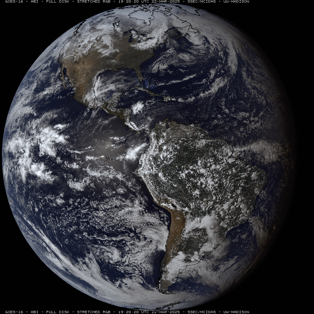
 Satellite imagery and animations for GOES-16 (GOES-R)
 -
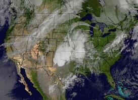 GOES East and West, IR / Visible channel composite satellite imagery over the continental U.S.
 -
 1-km GOES East satellite imagery centered over Madison, WI, the home of SSEC UW-Madison. The visible satellite channel is used during daylight hours and the infrared satellite channel is used at night.