Tim Schmit (vita) worked within NOAA's NESDIS Center of Satellite Applications and Research located in Madison, WI. And is now a UW-Madison honorary fellow. Tim has been recognized as an international expert in the field of geostationary remote sensing. Tim's experience with satellite data and processing covers a number of areas, including calibration, simulations and algorithms for processing satellite data into meteorological/environmental information and has a lead role in some of the science applications for the GOES-R series. Tim has extensive experience with data and deriving products from the legacy GOES imager and sounder data. Tim's interest on GOES-R series is truly end-to-end.
Tim had a lead role in the band selection for the Advanced Baseline Imager (ABI) on Geostationary Operational Environmental Satellite (GOES)-R (-16). When Tim began working on the ABI in 1999, it only had 8 spectral bands, yet a long list of requirements. Now it has 16 bands. To better prepare for the ABI, Tim was instrumental in the acquisition of special "Super Rapid Scan" 1-minute GOES-14 data from the imager between 2012 and 2016. In addition, Tim has played key roles in preparing for and the on-orbit check-outs of GOES-8, 9, 10, 11, 12, 13, 14, 15, 16, 17, 18 and 19. Tim is the chair of two Algorithm Working Group (AWG) teams: imagery and soundings. Tim has published over 100 journal articles, several book chapters, and co-edited a book, all associated with some aspect of GOES.
Tim has many awards, including the Department of Commerce gold, silver, bronze awards, NOAA Administrator awards, National Weather Association (NWA) Ted Fujutia research acheivement award, elected to be an American Meteorological Society (AMS) Fellow, and a finalist for the Samuel J. Heyman Service to America medal.
Tim got his Master's degree from the University of Wisconsin--Madison in 1987 working with Professor Young and Dr. D. Martin.
Tim worked at the Cooperative Institute for Meteorological Satellite Studies (CIMSS) for 9 years prior to joining NOAA/NESDIS in April 1996. Since then, his research has pursued numerous avenues related to satellite-based data, user-readiness, products and applications:
- GOES-16/17/18/19 Imagers. Some of Tim's GOES-R (now 16) Imager activities include: helping to define the early NOAA Advanced Baseline Imager (ABI) TRD Technical Requirements Documents, ABI band selection and definitions, ABI simulations using a myriad of satellite data, being a member of various committees. Tim is the chair of both the Imagery and Sounding AWG teams.
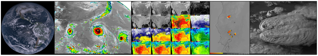
- Legacy GOES Imager and Sounder Algorithm Development. Have helped in developing a number of products from the legacy GOES Imager. One example is the Clear Sky Brightness Temperature (CSBT) that global numerical modelers are using to better depict upper-level moisture. Another is the GOES Imager cloud-top information product. Have helped in developing a number of products from the legacy GOES Sounder. Examples include cloud-top information and retrievals of atmospheric profiles and products such as Total Precipitable Water.
- ABI Education/Training/Outreach. Helped in developing a number of webapps and on-line (and in person) training regarding the ABI.
- GOES Calibration and Validations. Tim has worked to monitor the quality of the infrared calibrations of both the legacy imager and sounder and the GOES-R series Imagers.
- Future Geostationary Imagers/Sounders. GOES-R series Sounder activities included: helping to define the early NOAA (then called the ABS, now called the HES) TRD Technical Requirements Documents, HES trade-off studies, Geo eXtended Observations (GeoXO) advanced high-spectral infrared sounder .
To contact T. Schmit: E-Mail Contact Form
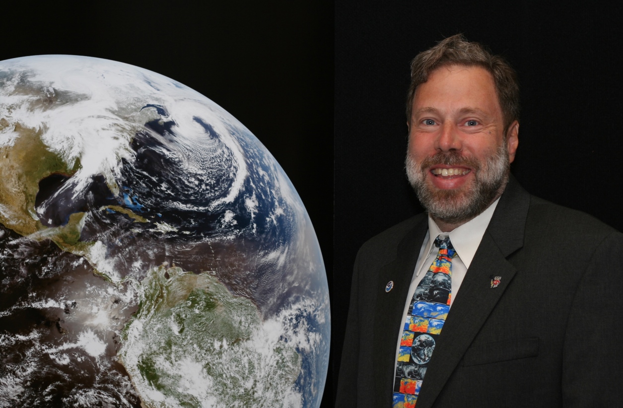
Photo by Eric Verbeten
 |
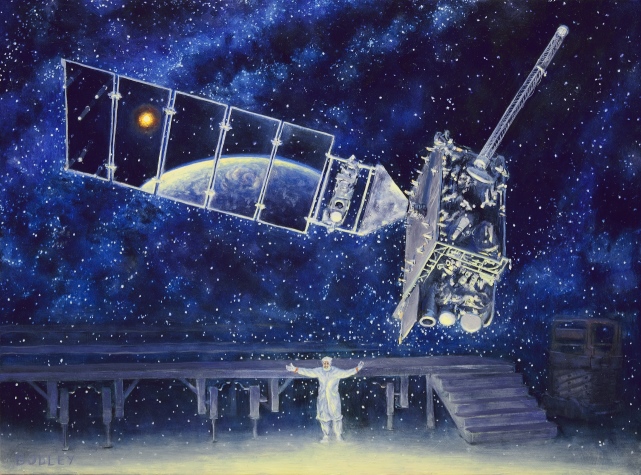
Painting by Sean Bodley
 |
Link of Links related to the GOES-R Series
 |