Satellite Coverages
 |
Satellite Coverages |
The following links contain current coverages for geostationary satellite data that is available from the SSEC Data Center.
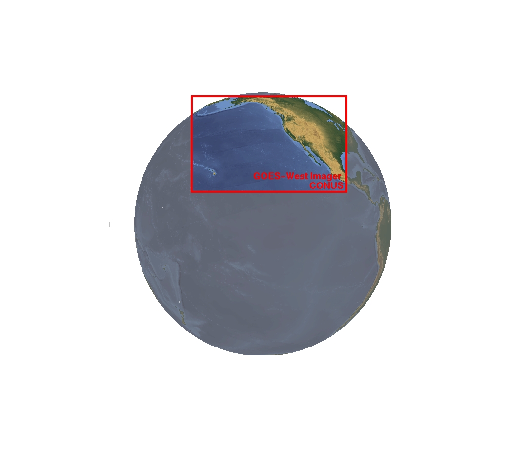
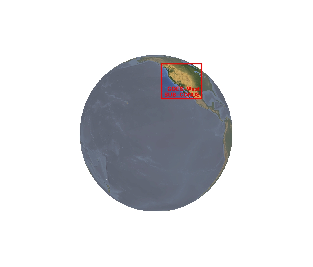
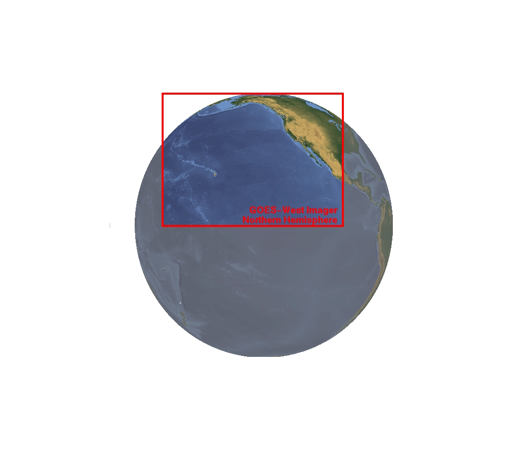
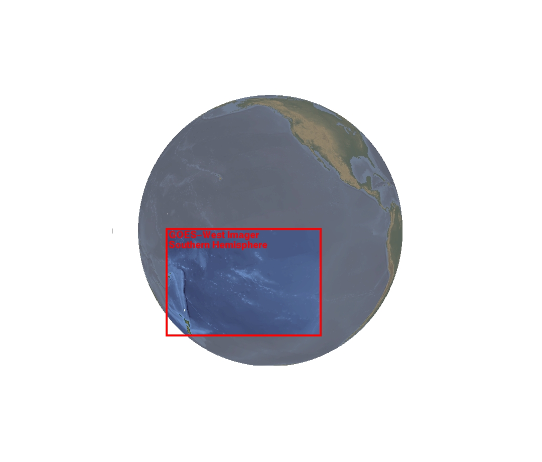
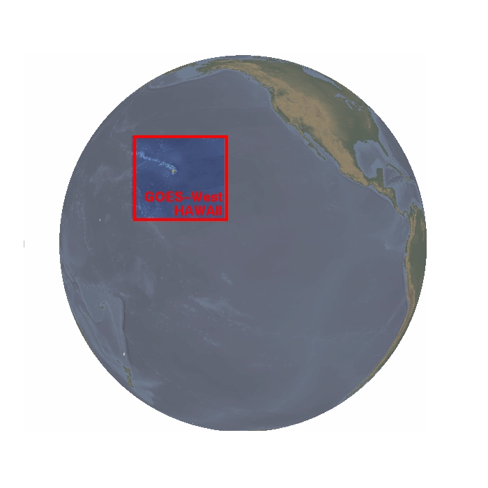
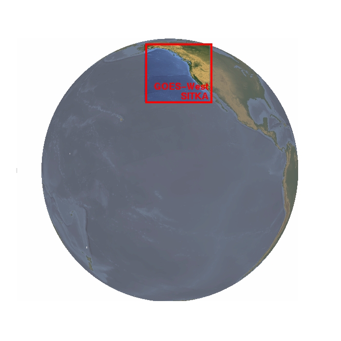
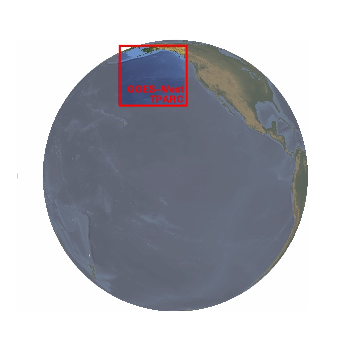
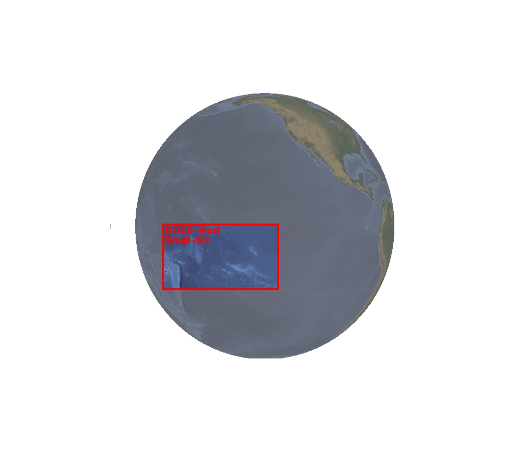
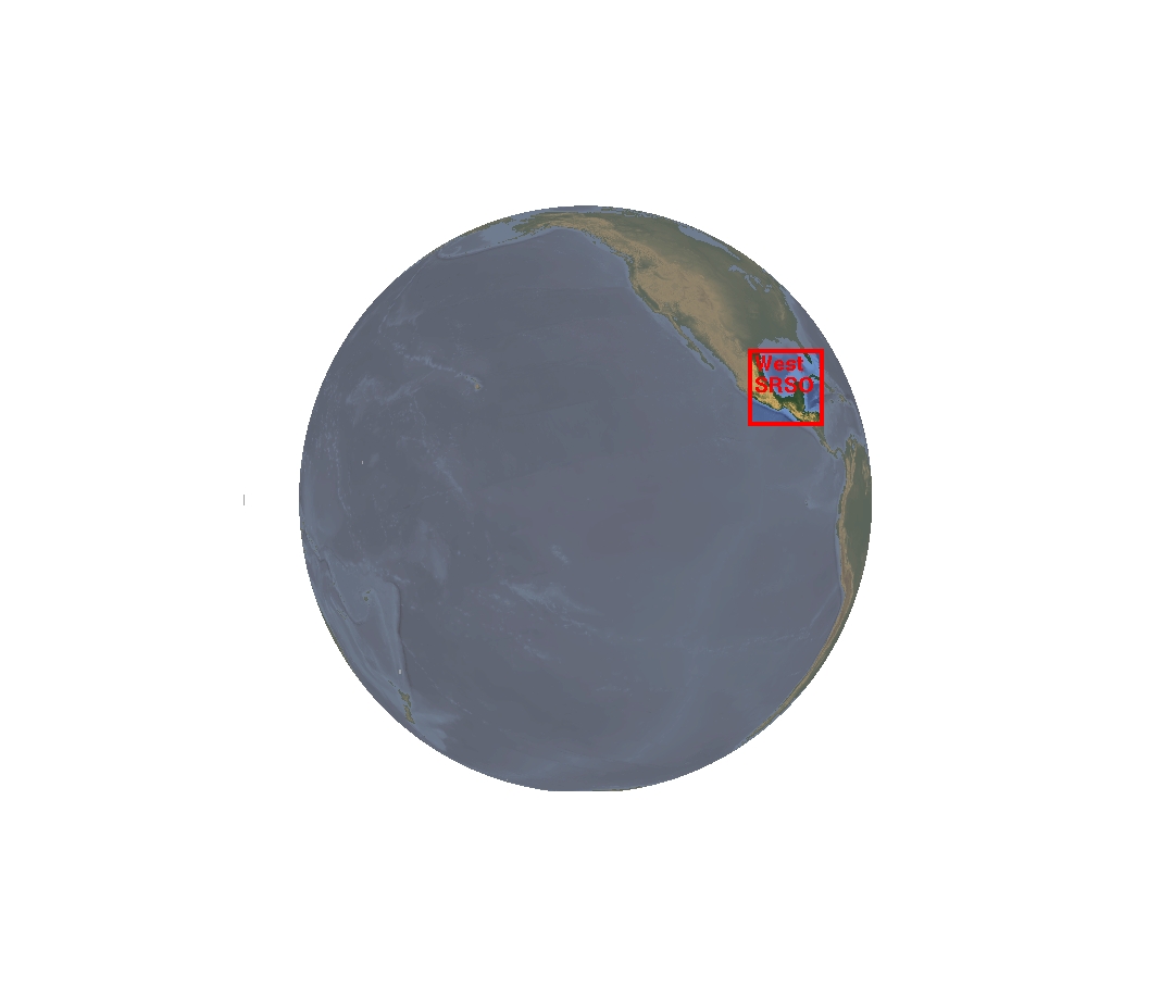
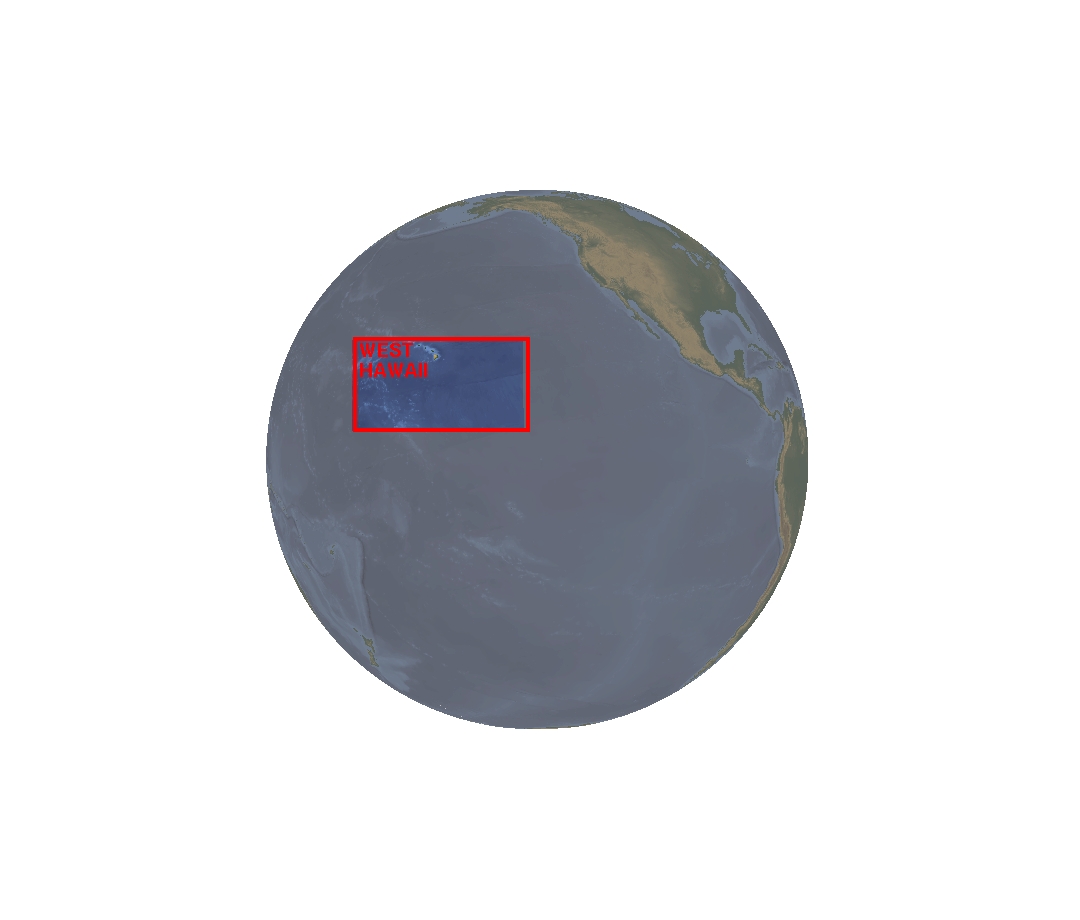
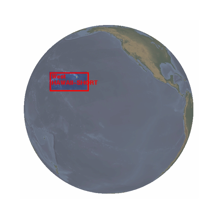
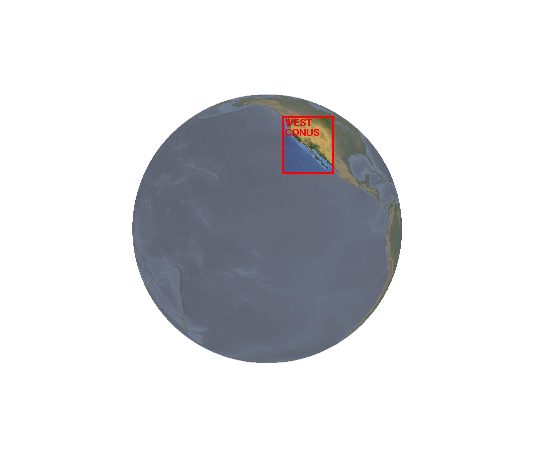
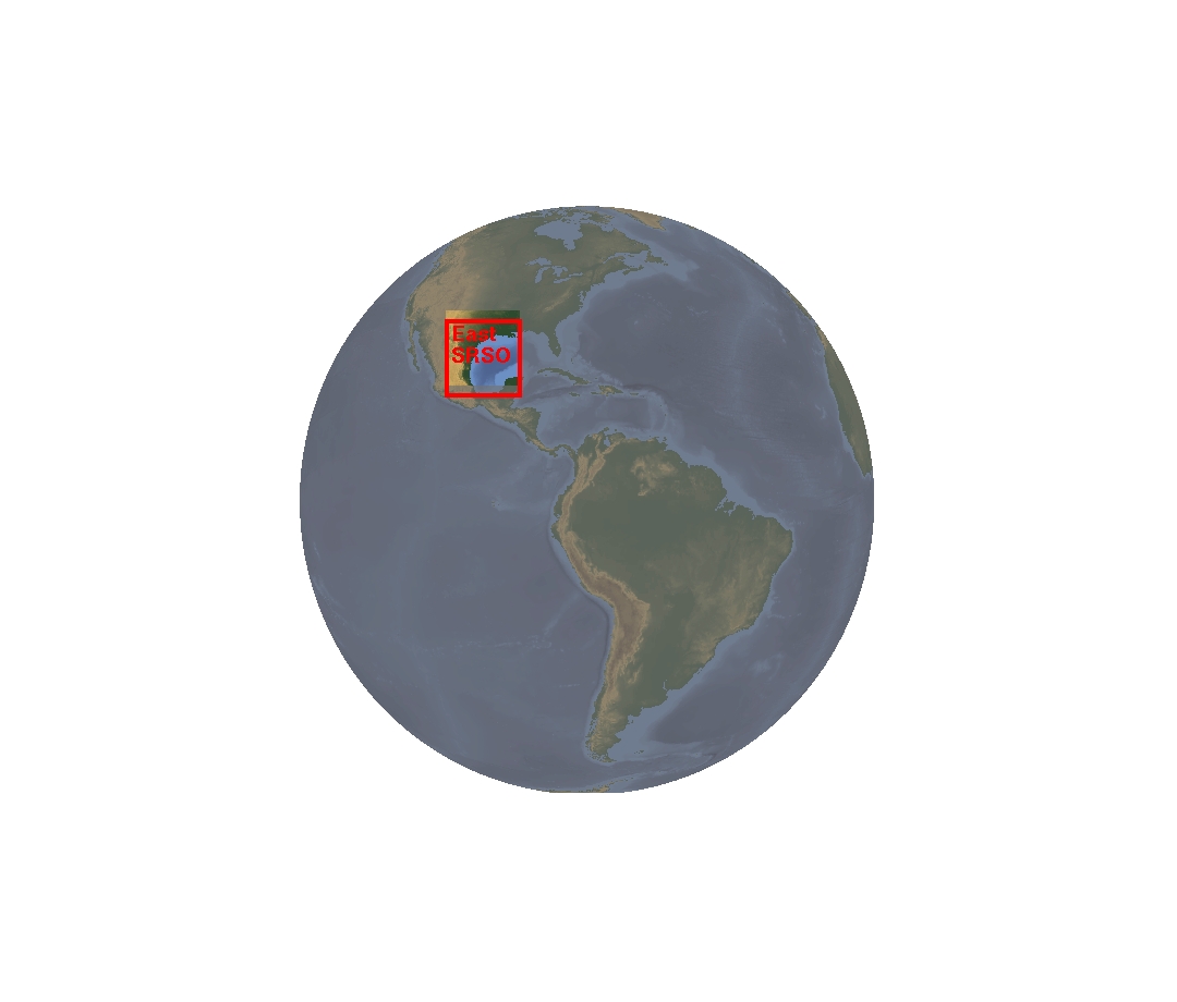
| GOES WEST – Imager | GOES WEST – Sounder |
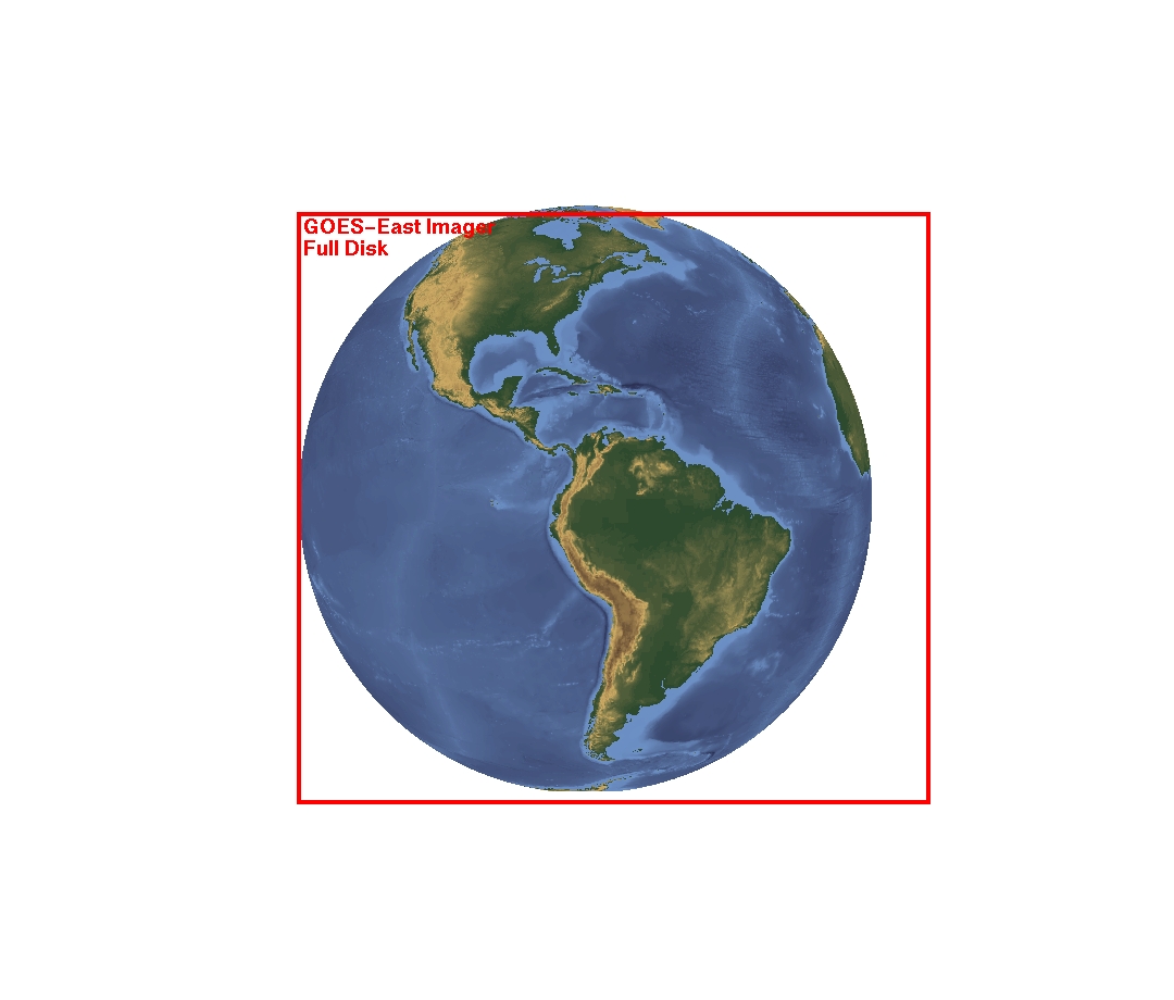
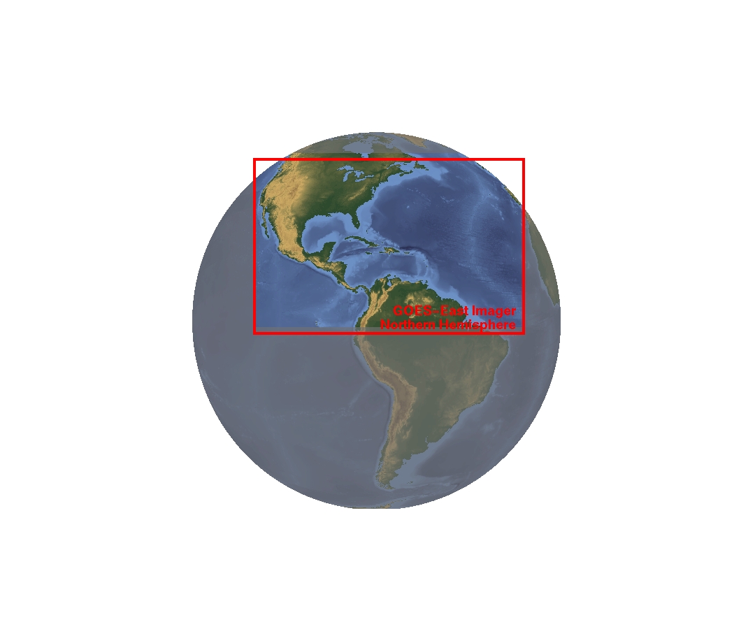
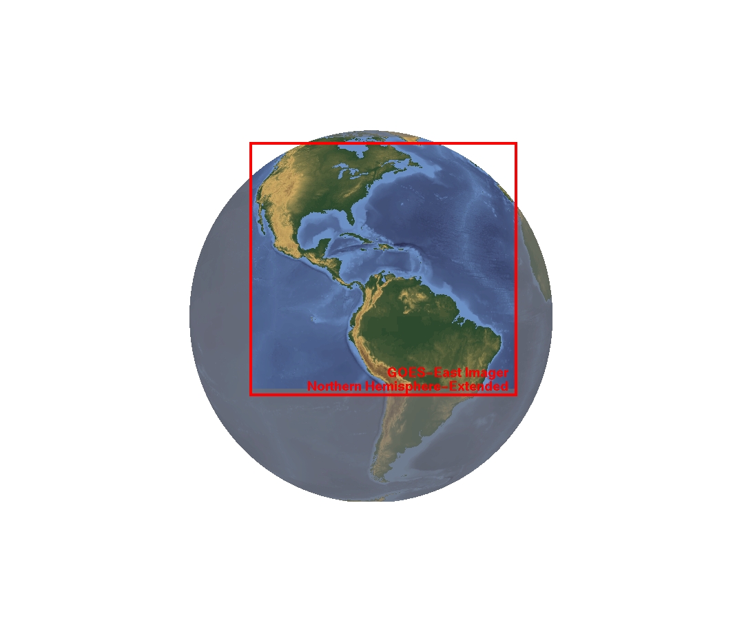
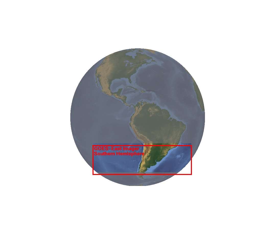
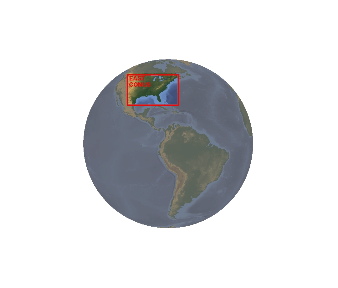
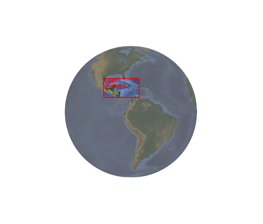
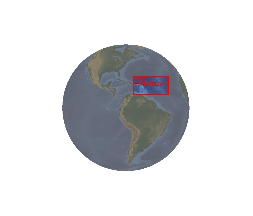
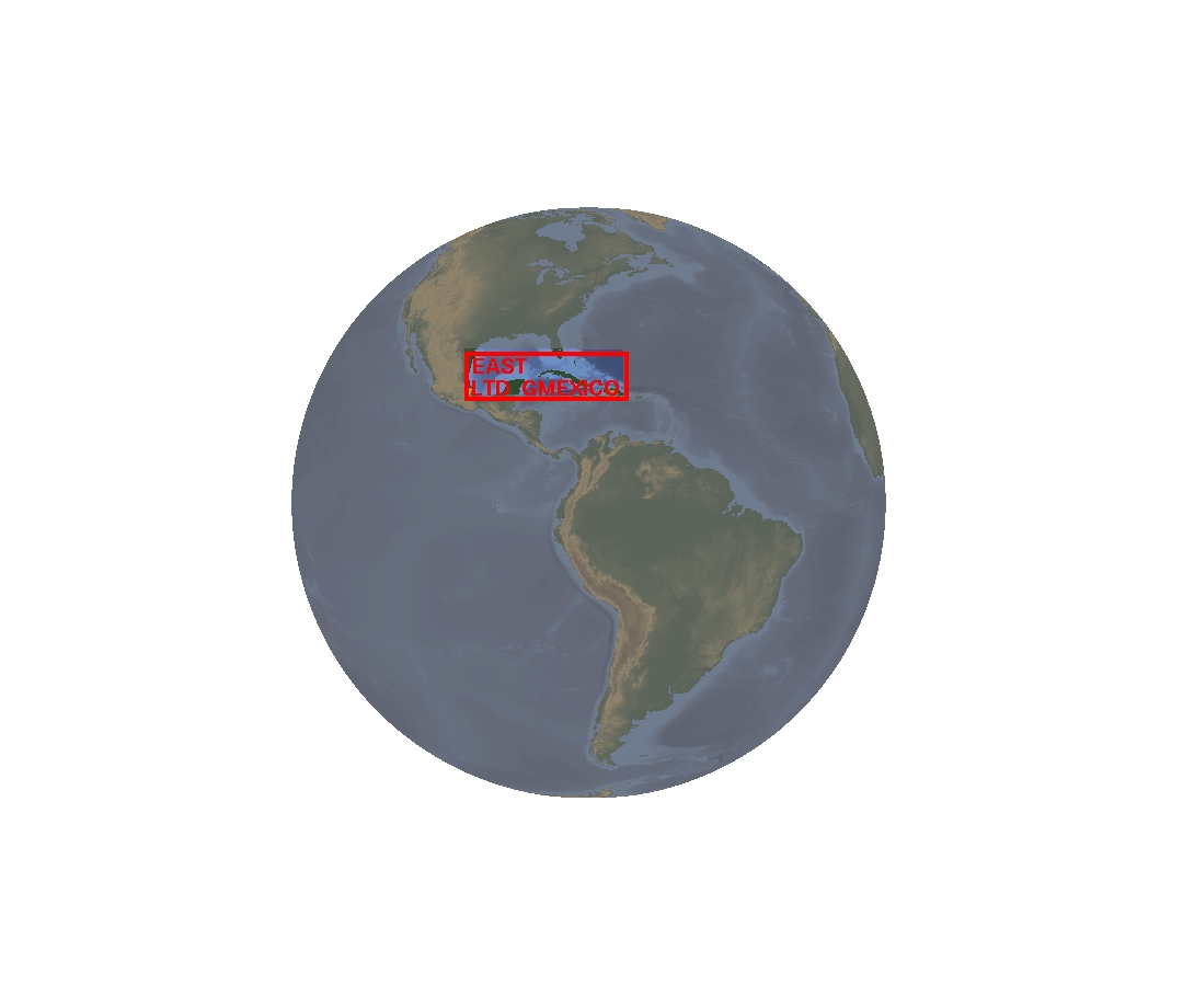
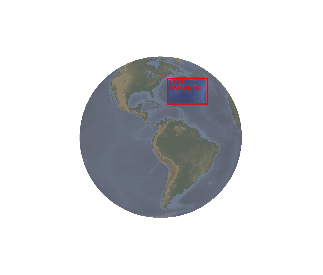
GOES EAST – Imager
|
GOES EAST – Sounder |
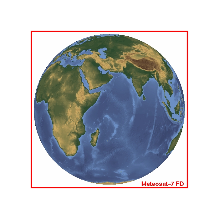
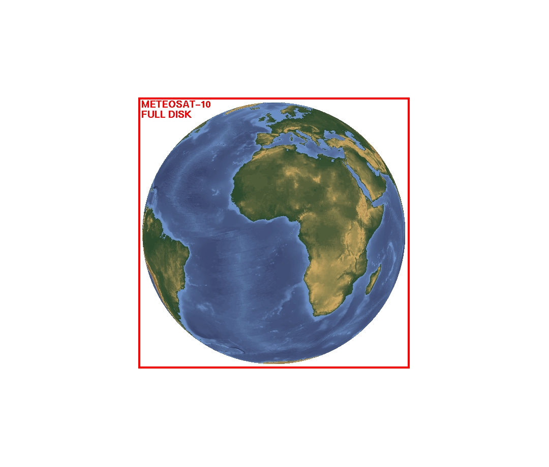
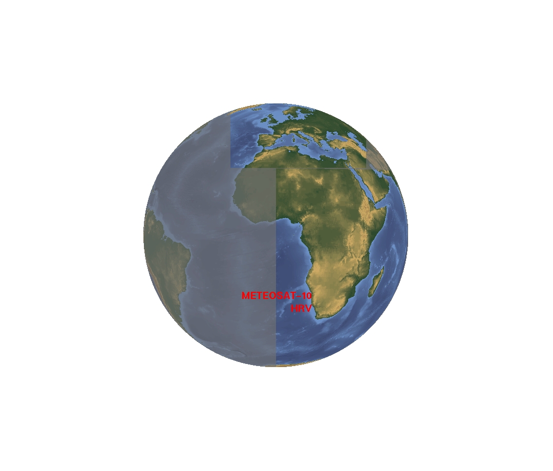
| METEOSAT-7 | METEOSAT-10 |
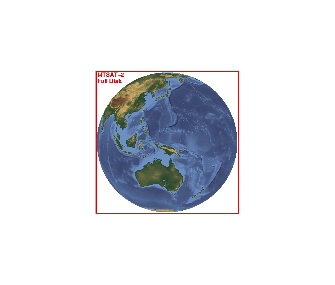
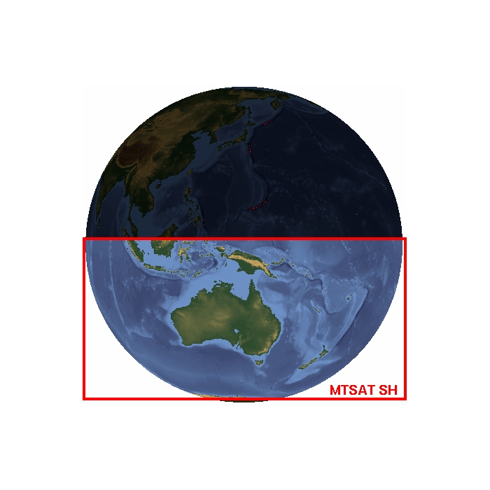
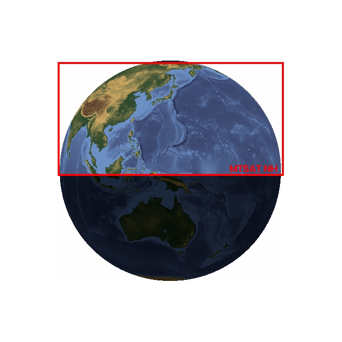
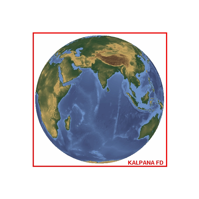
| MTSAT-2 | KALAPANA-1 |
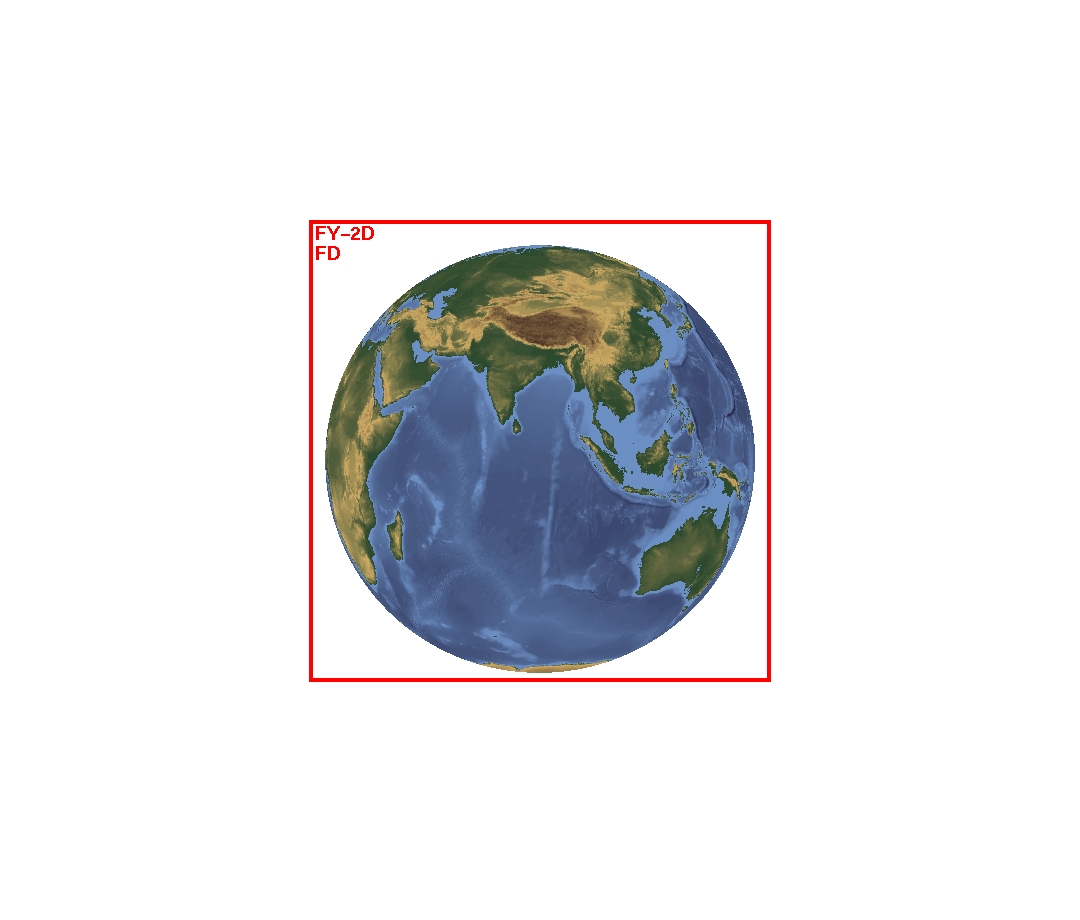
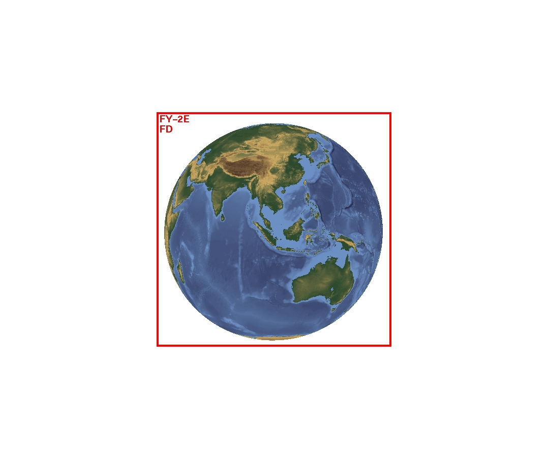
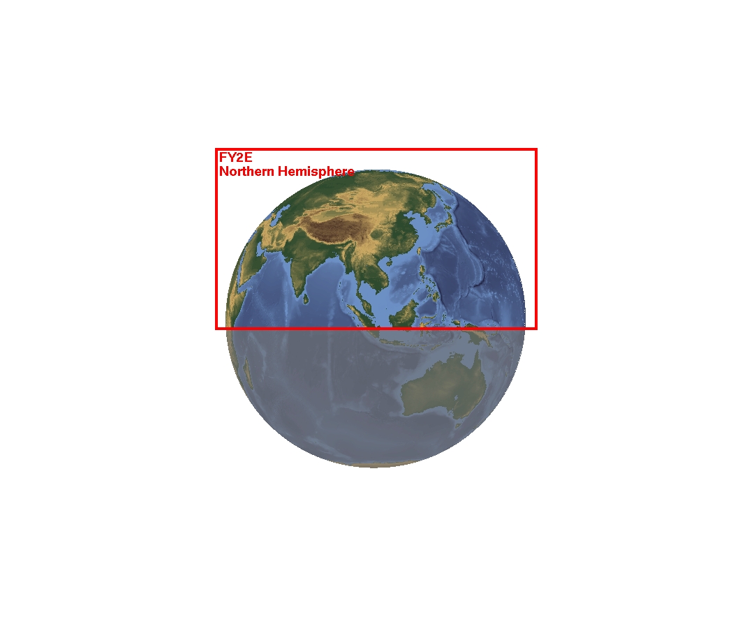
| FY-2D | FY-2E |
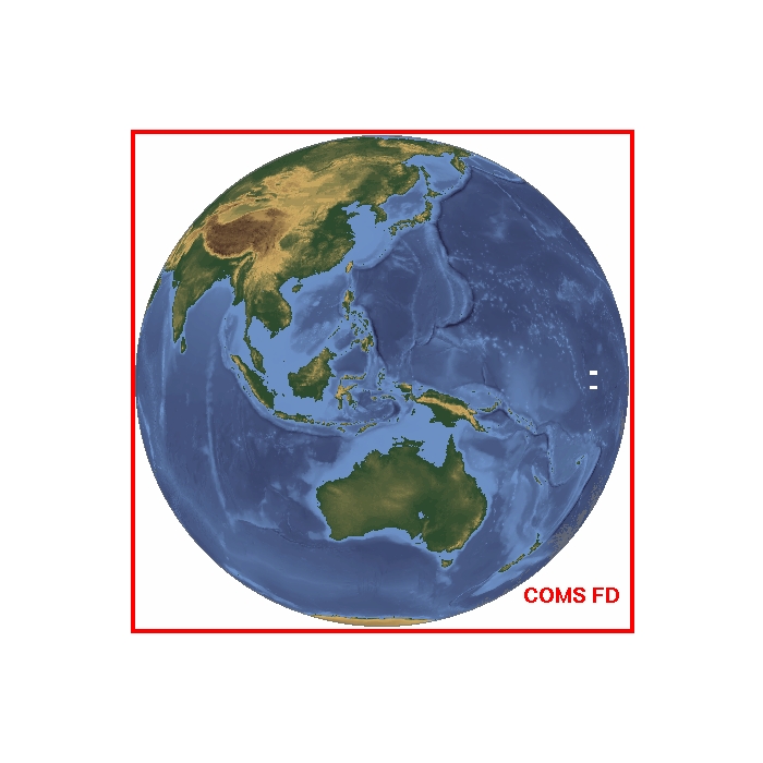
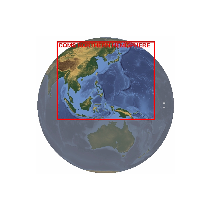
| COMS |