[Go to Previous] [Go to Next]


Imagery
Satellite Imagery Display
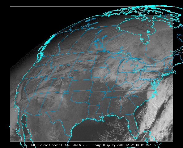
Image 1: Image Display of a GOES Visible Satellite Image

Extensive satellite image data are available from both local files and remote ADDE servers. For more information see Displaying Satellite Imagery.

Level III Radar Display
Image 2: Image Display of a Level III Base Reflectivity Radar Image

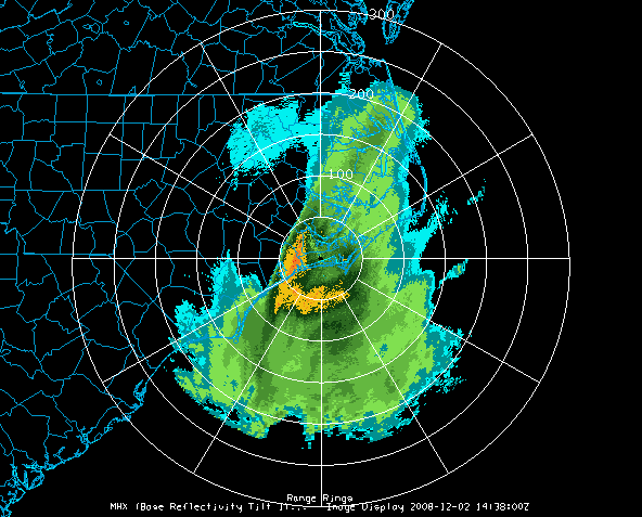
For more information see Displaying Level III Radar Imagery.


[Go to Previous] [Go to Next]