McIDAS-X
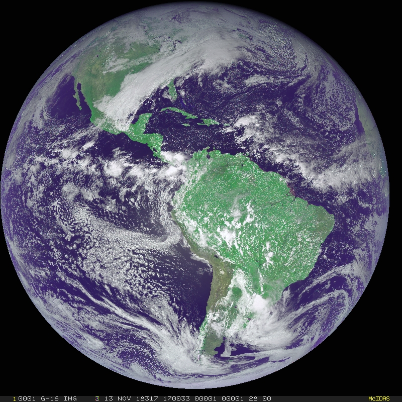
McIDAS-X is SSEC’s sophisticated package used for visualization and manipulation of geophysical data in a wide variety of formats. Typical data types include geostationary and polar orbiting meteorological satellites, NEXRAD radar, surface and upper-air observations, gridded numerical forecasts, NOAAPORT text products, and data from special observing networks. The McIDAS-X package is designed to work in both real-time operational and in research environments.
Visit the links below for additional information about McIDAS-X.
Only McIDAS Users’ Group (MUG) members subscribed to the McIDAS-X participation category can download the McIDAS-X software.