 Space Science and Engineering Center
Space Science and Engineering Center
Space Science and Engineering Center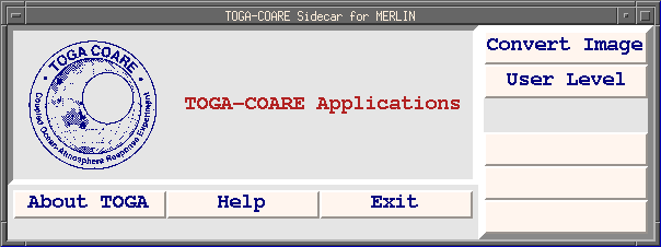
The software in the TOGA Sidecar is designed to convert the McIDAS-formatted images into more generic raster-type files, which can be used with image analysis software outside of the McIDAS environment. Once converted, GMS satellite images consist of pixel brightness temperatures (other options available) and associated latitude/longitude values.
The Coupled Ocean-Atmosphere Response Experiment (COARE) provided valuable data on ocean/atmospheric interactions in the western Pacific warm pool region. COARE was designed by an international group of scientists as an integral part of the Tropical Ocean Global Atmosphere (TOGA) program, an international scientific effort to describe, model and predict variability of the coupled ocean/atmosphere system on time scales of months to years. Enhanced monitoring of the ocean and atmosphere over the western Pacific warm pool region associated with the COARE field effort commenced on 1 November 1992 and continued through 28 February 1993.
A major component of the observational network during COARE was satellite data. GMS geostationary satellite imagery was collected during the COARE period at the Bureau of Meteorology in Melbourne, Australia on their McIDAS system, and archived to tape. These tapes were made available to SSEC for post-processing. The digital data, which includes 5-km resolution full-disk IR and 1.25-km resolution COARE-domain visible imagery (both at one hour intervals), were carefully checked for navigation errors and distributed on 4mm DAT tapes in McIDAS-X file format to the TOGA-COARE International Project Office (TCIPO) in Boulder, CO. TCIPO data management is responsible for the distribution of this data.
Email Chris Velden at ChrisV@ssec.wisc.edu
Updated 13 May 1997 by the SSEC Webmaster.