 |
||
Area Estimator |
||
Description:This simple RCO is used when an instructor would like a user to estimate the area of a feature within an image, based solely on an embedded units scale and a visual estimate. The instructor can specify via XML the number of guesses to allow before revealing the correct answer, and the percent error to allow. You can't expect the user to make an exact guess! The instructor must provide an image in a standard web format (such as .gif or .jpg) which has the target feature clearly highlighted and provides a scale appropriate for the units of measurement. The sample XML file provided below must be populated with appropriate data (the correct answer, ancillary information about the image, etc.) and placed in the same location as the HTML file used to access and present this RCO. Example usage:This link will bring up a separate browser window with a page that uses this RCO. Snapshot of sample use: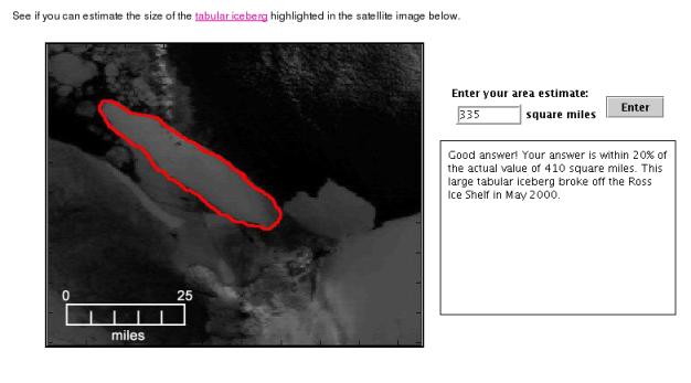 How to use
Create your XML file one of two ways:Edit this sample Area Estimator XML fileGenerate your XML automatically with this link.This RCO bundled as a jar file |
|
|
Comments? Contact us
This project is sponsored by NASA
|