« Back to "4-5 July 2019 California Earthquake"
6 July 2018 (5 July PDT) 7.1 magnitude earthquake
Posted: July 6, 2019
At 8:20 pm on July 5, 2019 PDT (03:20, July 6 2019, UTC) a magnitude 7.1 earthquake struck southern California centered near the July 4, 2019 M6.4 earthquake (https://www.usgs.gov/news/update-magnitude-71-earthquake-southern-california).
Shake map from USGS website: https://earthquake.usgs.gov/earthquakes/eventpage/ci38457511/shakemap/intensity
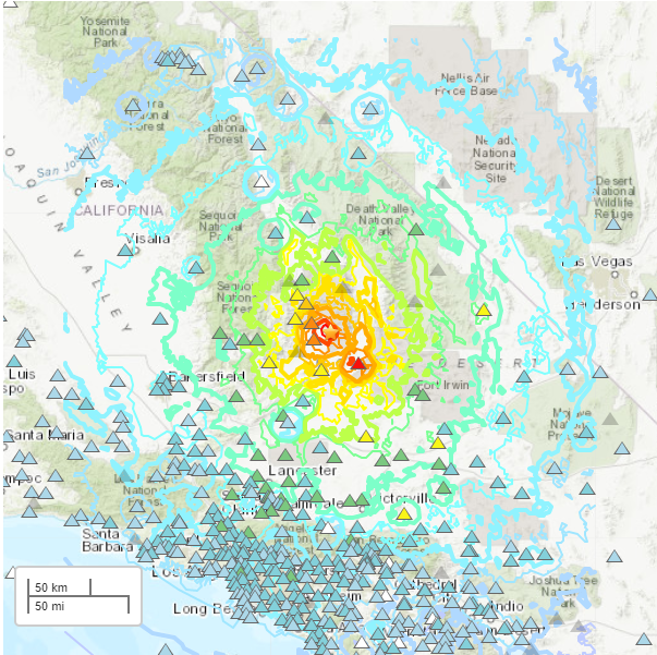
Unlike the 4 July earthquake, the M7.1 earthquake produced noticeable power outages in the Argus and areas northeast of Ridgecrest, CA, which were observed by the Day Night Band on NOAA-20 as compared to 3 July. Note the cyan shading indicates area of cloud cover, as determined by the I05 (11μm) channel
An image highlighting the area can be seen below here, along with the IR imagery that shows the region was mostly clear at the time.
This is consistent with the outage map from Southern California Edison from this morning
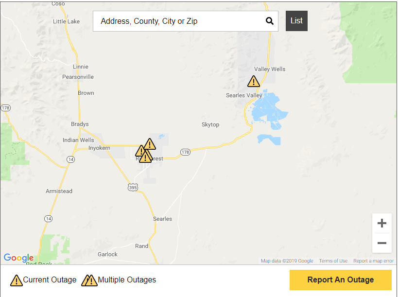
Shake map from SoCal Edison Power Outage website at ~7am CDT: https://www.sce.com/outage-center/check-outage-status
In addition, a fire was spotted in the NIR and thermal channels as well as the DNB to the northwest Argus near Argus Peak.


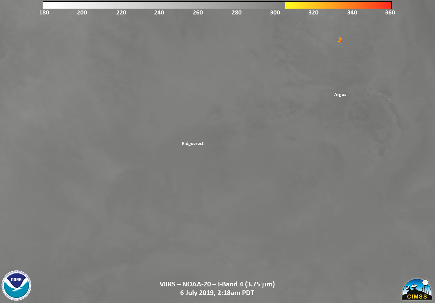
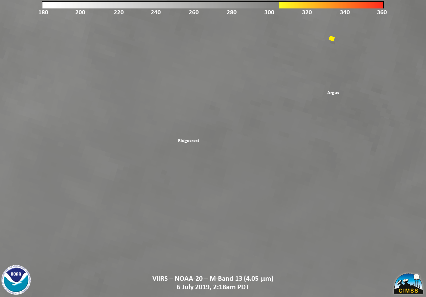
This was also picked up by the I-Band VIIRS Active Fire product, as seen on the JSTAR mapper
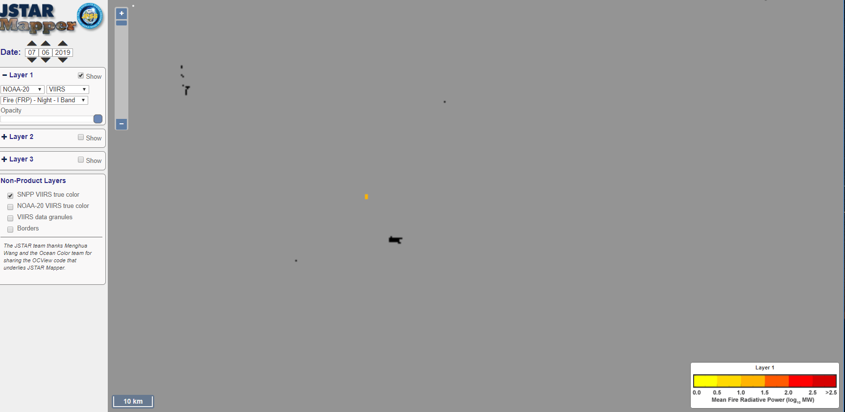
Image from JSTAR Mapper (https://www.star.nesdis.noaa.gov/jpss/mapper/#date=20190706/zoom=10/lat=35.825/lon=-117.13623046875/tc=true/sat=N20/l2=true/sens=VIIRSN/prod=frpi_d/ave=daily/gran=false)
This fire seems to be confirmed, though very faintly, via Band 7 (3.9μm) and Band 6 (2.2μm) observations from GOES-17 CONUS imagery, left and right, respectively.
And can also be seen in the below animated loop of both channels (click to enlarge)

This means it is likely a fire that occurred after the earthquake.
The USGS estimates significant damage is likely with liklely widespread impacts. According to the USGS, previous events with intensity have required a regional or national level response.

Screen capture of USGS Economic pager (https://earthquake.usgs.gov/earthquakes/eventpage/ci38457511/pager)
Given the impact of two significant earthquakes in 24 hours, any subsequent aftershocks will impact damaged infrastructure.

