|
|
McIDAS-X
User Information
About
New NWS Radar Products
This page contains McIDAS-X user information about new
National Weather Service WSR-88D (Weather Surveillance Radar-1988
Doppler) and TDWR (Terminal Doppler Weather Radar) products available
on NOAAPORT. McIDAS-XCD administrators looking for information about
configuring their -XCD systems to decode and serve the data should
go to the McIDAS-XCD Administrator
Information page.
The Overview section
below contains information about the products and related announcements
from the National Weather Service. The Using the
New Products in McIDAS-X section below contains information
about the McIDAS-XCD dataset names and McIDAS-X software changes
to make displaying the data easier.
Overview
Since Feburary 2010, the National Weather Service has been distributing
higher resolution WSR-88D and TDWR radar products via the SBN (Satellite Broadcast
Network), RPCCDS (Radar
Product Central Collection Dissemination Service ) and NOAAPORT. Ten
of the new products are essentially higher resolution versions of
older NEXRAD products that have been available on NOAAPORT (and in
McIDAS) since January 2001. Seven of the ten older products are scheduled
to be sunset (no longer diseminated) on 12 January 2011; the other
three will be retained until Feburary 2012.
The initial announcement of the new WSR-88D products and those being
replaced are in NWS
TIN09-41. A more detailed listing of both the WSR-88D and TDWR
products is in the NWS
Radar Products page. Finally, the revised sunset dates for
the lower-resolution products is in NWS
TIN09-41, 28 Sep 2010 Amendment. Note that the amendment indicates
that seven of the ten low-res products (with WMO headers N1R, N2R,
N3R, N0W, N1V, N2V, N3V) will be sunset on 12 Jan 2011, and due to customer
feedback the other three low-res products (N0R, N0Z, N0V) will
be retained until February 2012.
The McIDAS updates to support the 41 new WSR-88D and TDWR products
include new datasets in the new McIDAS-XCD release (version 2010.1,
Dec 2010), as well as McIDAS-X 2010.2 (Dec 2010) updates to the
radar servers, new image enhancements (for the EU command), and IMGDISP.CORE
additions that make it easy to display the new datasets with the appropriate
enhancement, maps and color bar. The section below (Using
the New Products in McIDAS-X) contains more detailed
information.
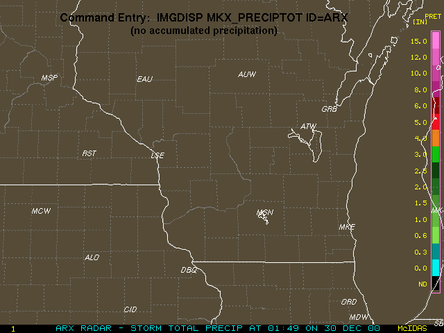
Using the New Products in McIDAS-X
To use the new radar products, you will need to become familiar with
the new datasets, new
image enhancements, WSR-88D and TDWR stations in the station database file
(STNDB.CORE), and the IMGDISP.CORE file's predefined products for use
in the IMGDISP command. The four bullets below contain additional information
about each of those topics.
|
