Wisconsin autumn — from space
Like clockwork, the surface of the Earth transforms itself each year, with each change of season.
The global fleet of weather satellites provide an expansive view of hurricanes and winter storms, but they also provide a dramatic perspective on these seasonal changes. This autumn is no different.
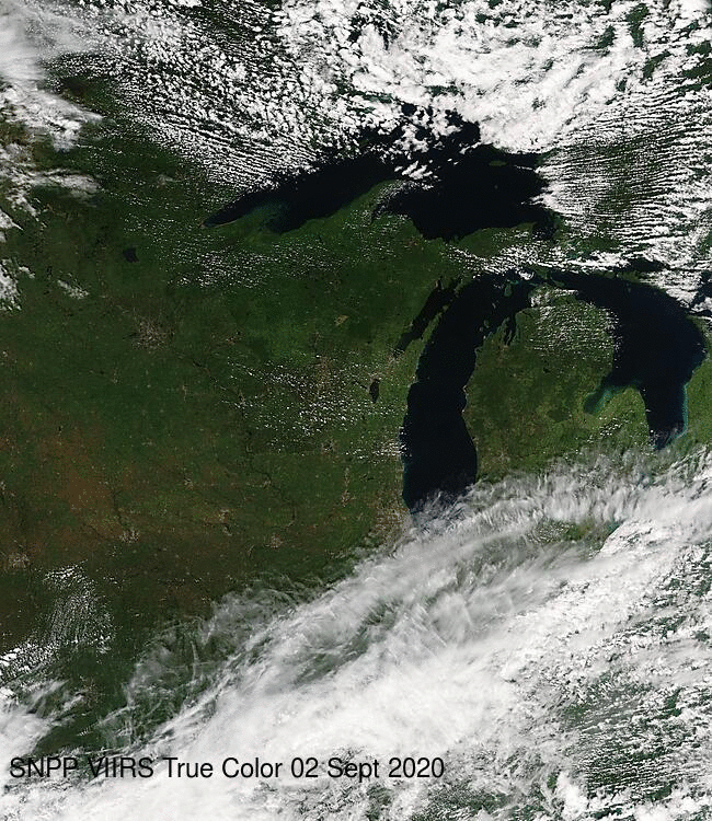
These satellite images of Wisconsin and the Upper Midwest on Sept. 2, 2020 and Sept. 22, 2020 capture the inevitable transition from the lush greens of summer to the more muted brown, red and golden tones of fall.
Utilizing a processing system developed at the UW-Madison Space Science and Engineering Center, the data used to create the composites were captured in real-time from the Visible Infrared Imaging Radiometer Suite, an advanced sensor on two NASA/NOAA polar-orbiting satellites. They were downloaded from the VIIRS Today website managed by SSEC.
For additional information about the images, see the recent post on the CIMSS Satellite Blog.