New York Attack – Satellite Images
These images show the smoke plume from the attack on Manhattan’s World Trade Center on September 11, 2001. Note that, beneath several sets of GOES images, there are two MODIS (higher quality polar-orbiting satellite, but later) images showing the smoke plume, and a link to an image from NOAA’s polar-orbiting satellite.
Image descriptions:
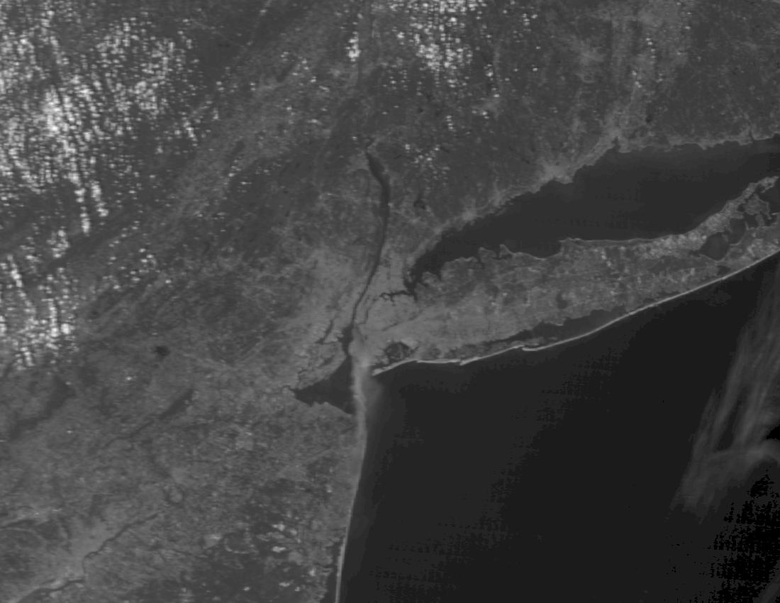
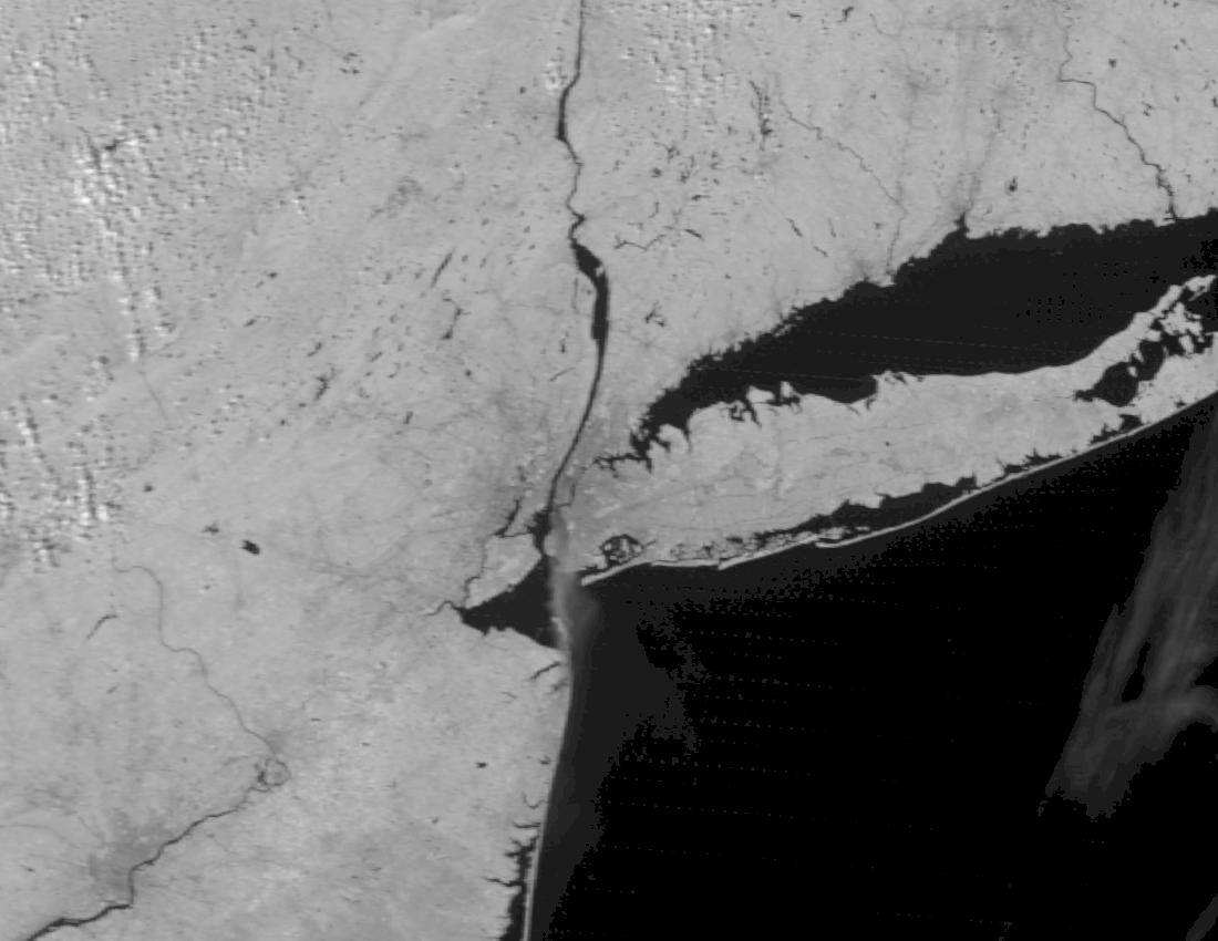
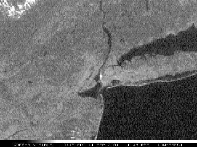
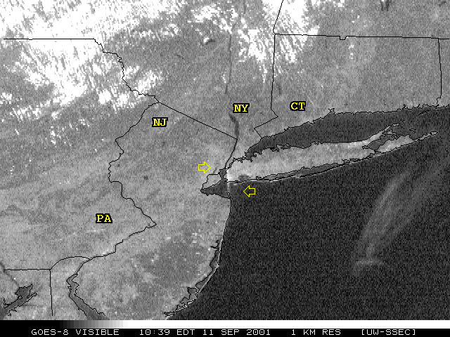
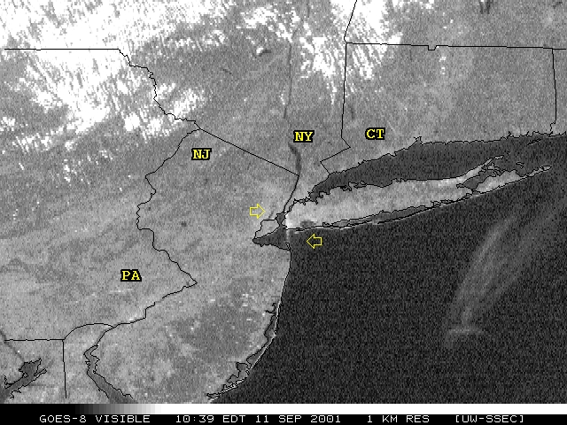
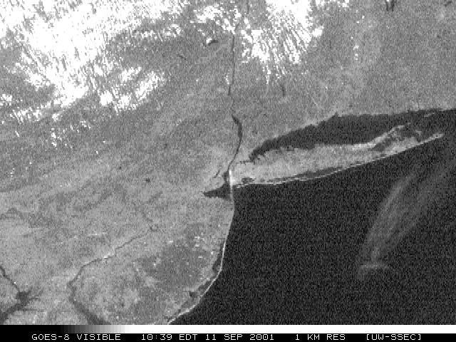
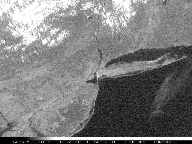
These images show the smoke plume from the attack on New York’s Trade Center, September 11, 2001.
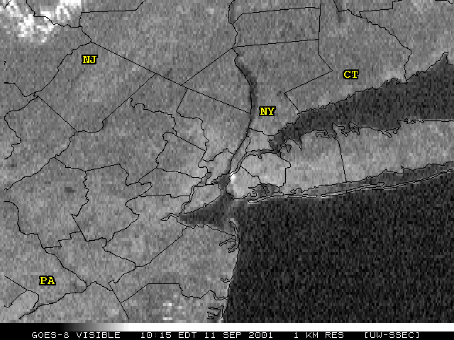
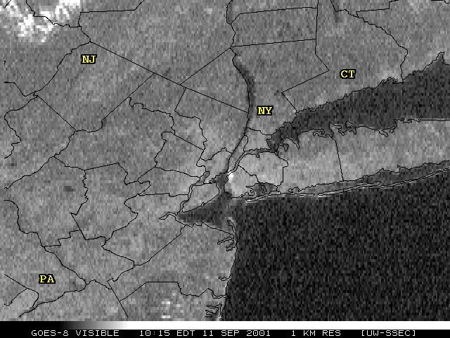
The GOES-8 images were taken at 10:15 and 10:39 a.m. New York time. GOES-8 is a NOAA geostationary weather satellite. These images were received at 1 km resolution (that means that the satellite perceives objects no smaller than 1 km in size).
The images showing higher detail were received at about 11:30 a.m. from NASA’s polar-orbiting Terra earth science research satellite, from the MODerate-resolution Imaging Spectroradiometer.
All images were received and made available by the Space Science and Engineering Center, University of Wisconsin–Madison. If you use any of these images, please credit us, and notify SSEC’s Public Information Officer.
GOES 8 satellite images

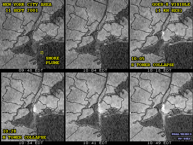
Perhaps this temporal view from the GOES captures the two individual debris plumes, following the collapse of each tower, all within the course of one hour. These images have been enhanced to more clearly show the progression from just smoke, in the first image, to a puff of white smoke from one explosion, and on through two explosions and back to a merged and much larger smoke plume. One file has a map included; the other does not, as it somewhat obscures the imagery.
With county maps
Without maps

MODIS images