10.3. Working with AHI Files
This example walks through the creation of Himawari AHI GeoTIFF subset image files and adding overlays.
10.3.1. The Basics of Geo2Grid for AHI GeoTIFF File Creation
Find the options available when creating AHI HSD GeoTIFFs:
geo2grid.sh -r ahi_hsd -w geotiff -h
List the products that can be created from your AHI HSD dataset:
geo2grid.sh -r ahi_hsd -w geotiff --list-products -f <path_to_files>
To create GeoTIFF output files of all bands found in your data set, including true and natural color full resolution sharpened 24 bit RGBs in standard satellite projection using 8 worker threads:
geo2grid.sh -r ahi_hsd -w geotiff --num-workers 8 -f <path_to_files>
Create a subset of AHI band output Geotiff image files for Bands 1, 2, 3, 4 and 5:
geo2grid.sh -r ahi_hsd -w geotiff -p B01 B02 B03 B04 B05 natural_color -f <path_to_ahi_files>
Create AHI images over a Lambert Conic Conformal (LCC) grid centered over Perth, Australia.
Run the grid helper script to define the grid center, areal extent, spatial resolution and projection .
p2g_grid_helper.sh perth 117.9 -32.4 500 500 1500 1500
perth:
  projection:
    proj: lcc
    lat_1: -32.4
    lat_0: -32.4
    lon_0: 117.9
    datum: WGS84
    units: m
    no_defs: null
    type: crs
  shape:
    height: 1500
    width: 1500
  center:
    x: 117.9
    y: -32.4
    units: degrees
  resolution:
    dx: 500.0
    dy: 500.0
Copy the output grid projection information into a grid configuration yaml file (my_grid.yaml). Use the grid to create an HSD AHI true color image from data observed on 12 November 2017, at 23:30 UTC.
geo2grid.sh -r ahi_hsd -w geotiff -p true_color --grid-configs /geo/hsd/my_grid.yaml -g perth --method nearest -f /data/ahi8/hsd/2330/*FLDK*.DAT
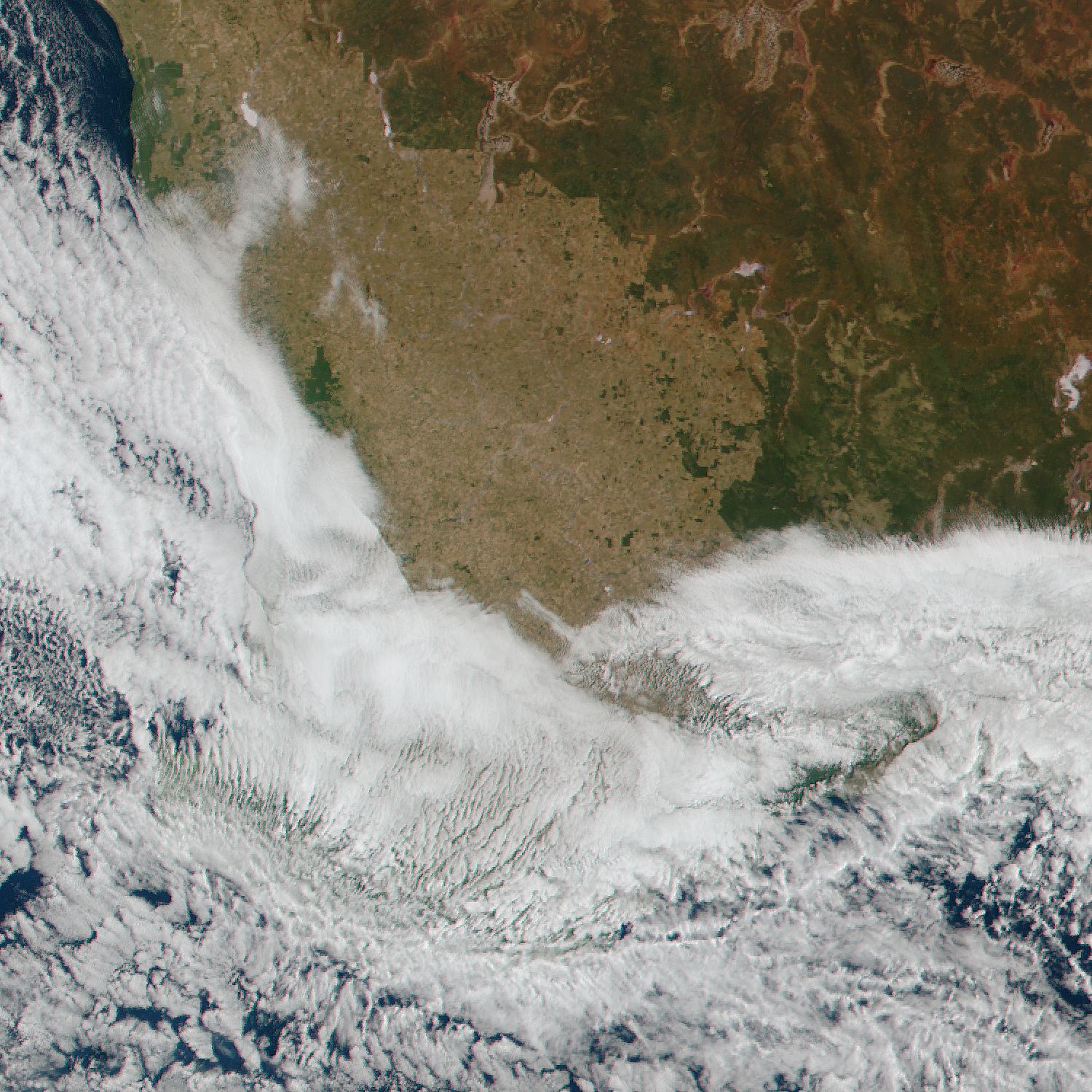
The resulting image is displayed beow.

Fig. 10.8 AHI True color GeoTIFF image centered on Perth, Australia (HIMAWARI-8_AHI_true_color_20181112_233020_perth.tif).
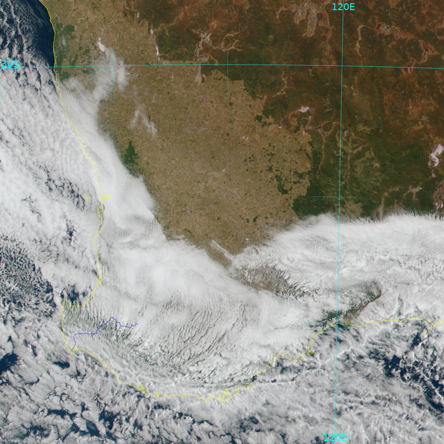
Add coastlines, borders and latitude/longitude grid lines and rivers to the image.
add_coastlines.sh --add-coastlines --add-rivers --rivers-resolution=h --add-grid HIMAWARI-8_AHI_true_color_20181112_233020_perth.tif

Fig. 10.9 Himawari-8 AHI true color image with overlays (HIMAWARI-8_AHI_true_color_20181112_233020_perth.png)
