Satellite Composite Images
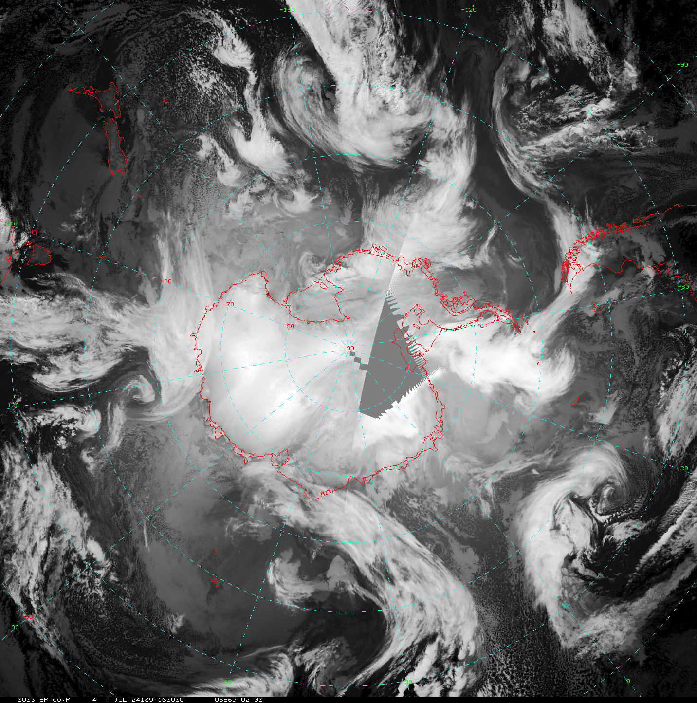
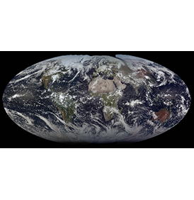
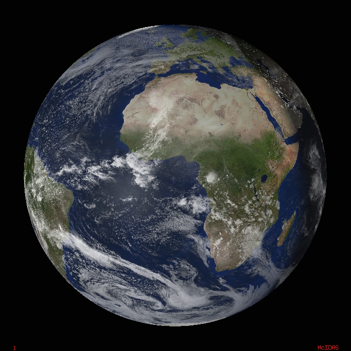
Real-Time
U.S. Composite Satellite ImageUpdated every half hour.
The U.S. Composite Satellite Image is a combination infrared satellite data from GOES-East and GOES-West. The basemap was provided by Earth Observatory Team - NASA (http://earthobservatory.nasa.gov/).
Global
Satellite & Surface Temperature MontageUpdated every six hours.
The global montage is created using satellite data, sea surface temperatures and observed land temperatures. For more information, read the overview.
- Latest global montage
- Two-week global montage movie
- Archive
- See also: Global Sea Surface Temperature Imagery
Rotating
Globe Movie
Updated every three hours.
These MPEG movies show weather systems over a rotating globe. They are created by combining data from 5 geostationary orbiting satellites (GOES-East, GOES-West, Meteosat at 0, Meteosat at 63E, and MTSAT), polar orbiting satellites and a topographic map of the Earth.
- Current snapshot (rotating Earth showing current clouds)
- Last 3 weeks (rotating Earth with animated clouds covering the most recent 3 weeks)
Global
Satellite Composites
Updated every three hours.
The global composite images combine GOES, Meteosat, and MTSAT satellite data.
- Infrared global composite: Latest Image | Quicktime Movie | MPEG Movie
- Water vapor global composite: Latest Image | Quicktime Movie | MPEG Movie
- Catalog of previous infrared composites
- Catalog of previous water vapor composites
Antarctic
Composite
Updated every three hours.
The Antarctic composite is a mosaic of GOES, Meteosat, MTSAT, and NOAA polar orbiting satellite data.

