RealEarth: Welcomes GOES-16 and launches new app
Since 2010, SSEC’s RealEarth satellite visualization application has been a go-to for free access to near real-time and archived satellite products. Since the launch of GOES-16 in late 2016, RealEarth has integrated the satellite’s preliminary data throughout the testing phases and will continue when the data are operational. Users can access all 16 bands to create layered composites along with more than 500 other products. In summer 2017, the RealEarth team launched the GOES specific app, featuring imagery only from the Geostationary Operational Environmental Satellites, including GOES-13, 14, 15, and 16. This slimmed down version with a simplified, mobile friendly interface is available for download now: ssec.wisc.edu/realearth
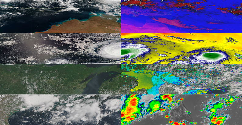
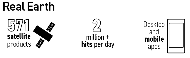
RealEarth provides free near-real time imagery from more than 570 satellite products. Users can layer different satellite images to create composite images and video loops. Visit the Real Earth page