Lake Michigan Ozone Study
For several years air quality managers have identified higher than normal levels of ozone in the Sheboygan, Wisconsin area: an atmospheric mystery since high levels of ozone are usually associated with larger cities.
In an effort to unravel the mystery and understand how pollution moves along the western shoreline of Lake Michigan, University of Wisconsin-Madison Space Science and Engineering Center (SSEC) researchers have joined an atmospheric study over Sheboygan and other cities along the coast.

The Lake Michigan Ozone Study seeks to understand how the atmosphere and wind transport pollution like ozone along the Wisconsin and Illinois shorelines. Credit: SSEC
The Lake Michigan Ozone Study (LMOS 2017) is a $1.3 million multi-agency partnership with NASA, the National Science Foundation (NSF), the Environmental Protection Agency (EPA), the National Oceanic and Atmospheric Administration (NOAA), and the Electric Power Research Institute (EPRI), as well as other organizations and universities. Their goal is to understand how wind currents can transport pollution from one location to another, in particular ozone, which poses health risks when found near the Earth’s surface.
“The plan is to collect data that will give us a comprehensive profile of the atmosphere along the shore of Lake Michigan,” says Tim Wagner, SSEC assistant researcher.
Wagner oversees the research efforts for a suite of ground-based instruments, known as the SSEC Portable Atmospheric Research Center, or SPARC. Data gathered from the SPARC instruments will help construct a picture of the atmosphere over Sheboygan and surrounding areas through wind and temperature measurements, as well as resolving different types of particles like ice, dust and other aerosols.
The SPARC is a customized, 35-foot trailer equipped with an array of sensitive tools used to measure the atmosphere, many of which were designed and built at SSEC. The main instrument aboard the SPARC is the Atmospheric Emitted Radiance Interferometer (AERI), a ground-based device that uses infrared waves to continuously collect precise and high-resolution temperature and moisture data from a vertical sliver of the atmosphere in the boundary layer. Other instruments like a Doppler-Lidar use a laser to record relative motion of the air, and can be used to create 3D images of the surrounding area. A High Spectral Resolution LIDAR (HSRL) is used to resolve the size and diameter of certain aerosols and particles that will then be compared with other data collected from partner agencies.

The Space Science and Engineering Center Portable Atmospheric Research Center (SPARC) collected data along Lake Michigan in Sheboygan, WI as part of the month-long air monitoring campaign. Credit: Tim Wagner, SSEC
“By understanding the atmospheric structure, it gives context to the other data that are part of the whole campaign,” says Wagner. “It’s an important piece of the puzzle to understanding what’s happening up there.”
For other parts of the Lake Michigan coast not covered by the SPARC team, partner agency NASA took measurements from remote sensing instruments on an aircraft flying in specific patterns over the area – from Zion, Illinois to Sheboygan — while a NOAA ship, equipped with EPA instruments, collected nearshore and offshore measurements. EPRI is funding Scientific Aviation to provide airborne insitu measurements along the Lake Michigan coast and NSF is funding the University of Wisconsin, University of Iowa, and University of Minnesota to conduct detailed chemical measurements at a ground site in Zion, Illinois. At the same time, ozone measurements via automobile were conducted by the EPA Region 5 and UW-Eau Claire professor Patricia Cleary.
Together, the aircraft, ship, and land measurements will help build a more complete atmospheric mosaic, Wagner says.
Why ozone?
Ozone is a known respiratory irritant that poses health threats to vulnerable populations, especially young and elderly groups and those with breathing problems, such as asthma. The data collected in the LMOS study will later be integrated into ozone models used by air quality managers at agencies such as the EPA, the Lake Michigan Air Directors Consortium (LADCO), and the Wisconsin Department of Natural Resources.
“We want to help improve these models and better predict when ozone events will happen,” says Brad Pierce, a NOAA researcher who is stationed at UW-Madison and is leading the LMOS campaign. “And in turn, protect health.”
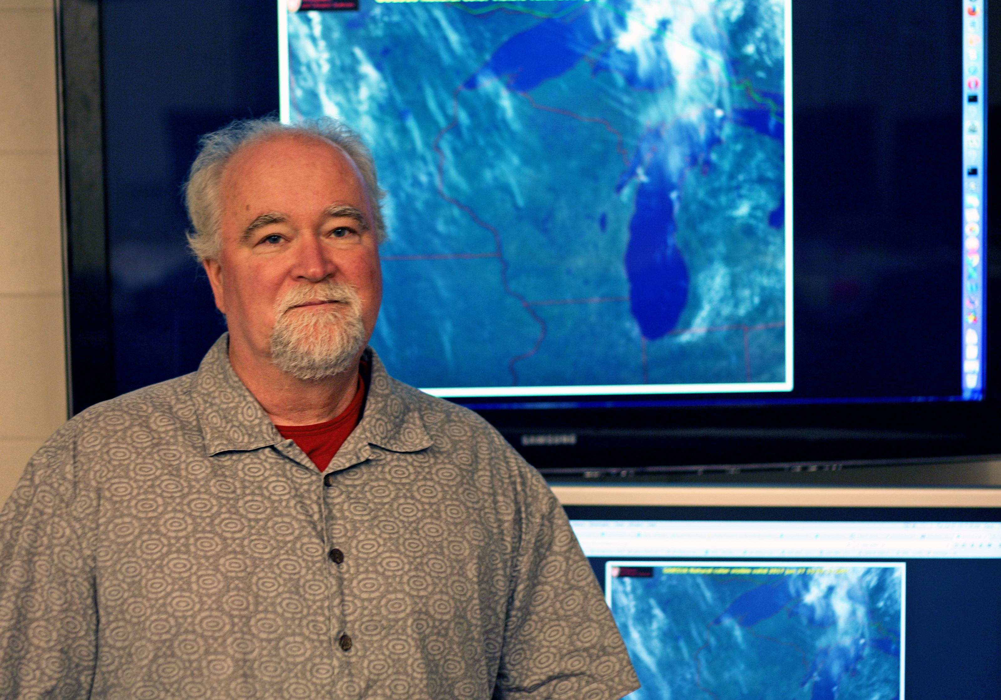
NOAA physical scientist Brad Pierce. Credit: SSEC
The EPA is responsible for setting ozone pollution standards nationwide and works with state agencies to monitor air quality conditions. If the air quality in an area does not meet certain standards, cities must undergo a planning process to outline ways of reducing pollutants like ozone. Pierce says that improving models will assist the EPA and cities as they plan for future air quality needs and requirements.
Data collected from the study will also be used to validate observations from weather monitoring satellites like GOES-16. As satellite instrumentation has become more sophisticated and able to assist researchers in monitoring air quality from space, they still, however, need to be validated through ground measurements like those taken during the LMOS project. In addition, another geostationary spacecraft will include NASA’s TEMPO (Tropospheric Emissions: Monitoring of Pollution) instrument that will measure air pollution over North America. It is scheduled to launch in 2018 or 2019.
Back on Earth, Tim Bertram and his graduate students Gordon Novak and Michael Vermeuel, are currently monitoring ozone and other pollution as part of the LMOS study at a site in Zion, Illinois. Bertram is a professor of chemistry at UW-Madison and says ozone is commonly found in Earth’s atmosphere, but usually high up and away from people, where it protects surface dwellers from harmful solar radiation. However, anthropogenic sources like the burning of fossil fuels can escalate the production of ozone to unsafe levels, especially when it forms in cities or densely populated areas where people are more apt to be exposed to its harmful effects. Incomplete combustion creates what are known as precursor molecules, like nitric oxide (NO) and volatile organic compounds, which through a chemical process involving sunlight, lead to the production of ozone. Ozone levels tend to be higher during the summer months because of the increased solar intensity.
UW-Eau Claire undergraduate students help collect ozone data in Sheboygan with pole-mounted instruments. Credit: Patricia Cleary
Pierce, who has been studying ozone transport for more than 20 years, says the data collection portion of the study been completed, but the study is slated to continue as SSEC and others will now start finalizing the measurements and analyzing and integrating the data to improve ozone models.
“The field phase of the 2017 Lake Michigan Ozone Study has been an overwhelming success and we look forward to using the measurements collected during the campaign to help understand why coastal ozone monitors show higher ozone levels than inland and improve our ability to model ozone within this complex region,” says Pierce.
This research is supported by NOAA/STAR GOES-R grant under NOAA-University of Wisconsin CIMSS Cooperative Agreement number NA15NES4320001, U.S. Department of Commerce.
by Eric Verbeten