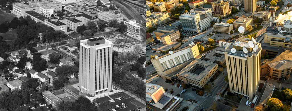
SSEC celebrates 60 years
On August 20, 1965, the University of Wisconsin–Madison Board of Regents officially recognized the establishment of the Space Science and Engineering Center, a new research center dedicated to the emerging field of satellite meteorology, to observe and monitor weather on Earth.

Celebrating its 60th anniversary, SSEC has played a critical role in the field’s evolution, beginning with the pivotal experiment aboard the Explorer-7 satellite that would establish UW-Madison as the birthplace of satellite meteorology. SSEC co-founders Verner Suomi and Robert Parent later invented the Spin-Scan Cloud Camera that flew on the Applications Technology Satellite series in the late 1960s.
To make better use of all the satellite data flowing in, SSEC pioneered a revolutionary visualization system, the Man computer Interactive Data Access System, in the 1970s. More than 50 years later, McIDAS is used by researchers and organizations worldwide. Closer collaborations with the federal government – and the National Oceanic and Atmospheric Administration and NASA – came through the formation of SSEC’s Cooperative Institute for Meteorological Satellite Studies in 1980. Through the years we have continued to help develop and define the satellite technologies that provide the data and to refine our data visualization and processing techniques.

Most importantly, these early foundations have led to innovations and improvements in the science and applications of our research. Today our work is used to monitor the track of hurricanes and their intensity, provide earlier warnings of severe weather, detect and monitor wildfires, and identify areas prone to flood risks.
The positive impacts of our research fill critical gaps and fuel our efforts to find new and improved methods – to support the mission to protect property and save lives.
