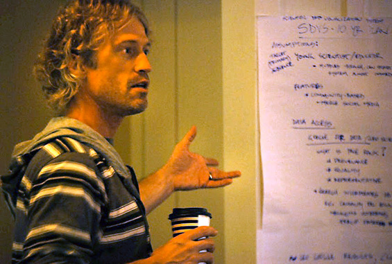
Tommy Jasmin Named Chair of ESIP Geospatial Committee
Following the ESIP summer meeting, which was held in Madison, WI, this year, Tommy Jasmin was named Chair of the ESIP Geospatial Cluster. ESIP, or Earth Science Information Partners, is a consortium of well over 100 major organizations who work with Earth Science data and care about collaborating to solve common problems. All the major players are represented: NASA, NOAA, JPL, USGS, as well as government agencies like EPA and private companies like ESRI. Tommy originally got involved with ESIP through one of the NASA REASoN grants.
Says Tommy, “I love working with ESIP. First of all, it’s a great melting pot where the attendees really want to help each other solve problems. All egos are checked at the door, everyone is equal. They recognize that so many of us are struggling with the same problems – interoperability, metadata issues, visualization, data quality, etc. I think the best solutions can only be attained through collaboration among these major groups.”
“This is going to be a lot of fun for me” says Tommy. “All the ESIP Clusters are vital, and all overlap to some degree – for example, Geospatial is of course concerned with the major issues being addressed by the IT and Interoperability Cluster, Metadata Cluster, and so on. But addressing the concerns of the Geospatial Cluster is so vital right now. You have to think way beyond typical applications. In a few years most people will be a walking GPS, generating huge amounts of new data. The next wave of innovation will hinge on providing the means for researchers and scientists to cleverly mix-and-match these new data in novel ways.”The work of the ESIP Federation is advanced by creating specific collaboration areas, or Clusters, as needs evolve. Each cluster has an assigned or elected Chair and Vice Chair to define goals and lead them. Given Tommy’s remote sensing expertise, and more recent broader interest in geospatial data due to being part of the Nelson Institute for Environmental Studies, he was asked to lead the ESIP Geospatial Cluster going forward and gladly accepted.
“I’m approaching this the way I do everything else – take these big, nasty problems and break them down into well-defined, manageable pieces to solve. I don’t want to just hold telecons, I want to identify the key common issues, and solve some problems. At a high level, Geospatial is just adding where and when to data, being able to find and retrieve that data, then visualizing and analyzing that data. But it gets real complicated real fast, just like everything else we do.”
“I think top on most people’s list is interoperability. As geospatial data creation and distribution becomes easier across various technology and platforms, interoperability increases dramatically in importance. Of course I have to look at the latest hot buzzwords too, like Spatial Data Infrastructures – see what all the fuss is about there. It’s a lot to learn, but I’ve got two great Vice Chairs from JPL, Paul Ramirez and Cameron Goodale – this is going to be a fun ride.”

