McIDAS-V Sample Capabilities & Bundles
McIDAS-V can display weather satellite and other geophysical data in 2- and 3-dimensions. Powerful mathematical functions and scripting allow the user to manipulate, combine, and analyze data from a variety of different sources. Individual results can be saved in a McIDAS-V file called a bundle and shared with other users.
See the sections below to view some of the sample capabilities of McIDAS-V and to download the bundles used to create the images. The bundles can then be loaded in to McIDAS-V. For more information on creating these types of displays, please see the McIDAS-V Documentation link above for tutorials and instructional videos.
[All examples on this page were created by members of the McIDAS User Services using McIDAS-V software.]
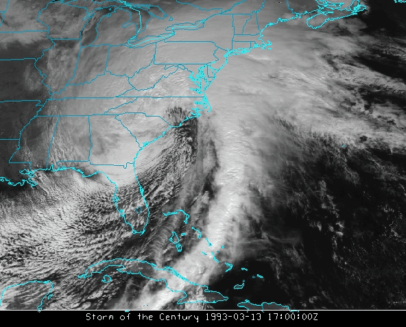
Satellite Imagery
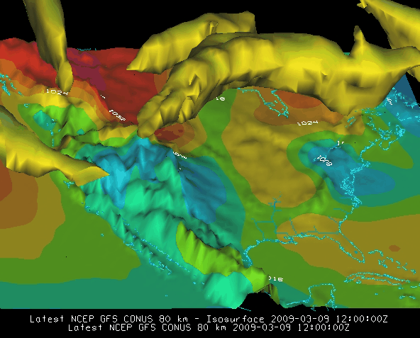
Model Data
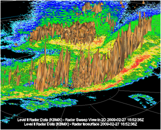
Radar Imagery
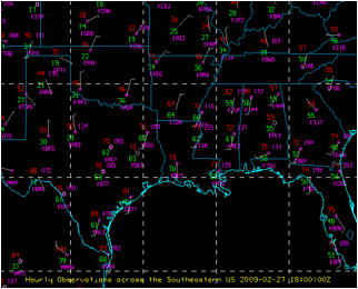
Observation Data