News
-
Updates to RealEarth Watermark Policy
Our intention since the beginning has been to make satellite imagery and data available in web-friendly formats to as wide an audience as possible. At the same time, to sustain our growing inventory of products, we have a documented policy of charging our high-volume users. Recent updates in mid-January…
-
Solved! North American Domain RAP 13.5km Rotated Pole GRIB2 for GIS
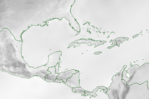
Valuable Weather Model Forecast Data Finally Available to Global Geo Community after Cracking Technical Puzzle Figure 1. Example of the area of coverage and spatial extent of the North American domain for RAP Smoke Forecasts. Coming soon to…
-
Collections and Categories
The RealEarth Team has started an internal task designed to simplify and improve data discovery within the RealEarth product “collection.” In the next few weeks we will be consolidating products into a more manageable list of category topics. You may see some common-use categories disappear from the interface. This will…
-
New Policy Roll-out
Hello RealEarth users. You may have noticed that we are instituting watermarking for our busiest and most frequent users as part of a volume-based cost recovery model we are beginning to roll-out. As demand grows for RealEarth web services, we need to cover the cost of the human and compute…
-
You Are Here
RealEarth officially launched its new website today. You are here 🙂…
-
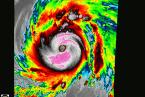
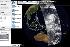
View of Super Typhoon Yutu
On October 24, 2018 Super Typhoon Yutu made landfall on Tinian and Saipan. The Himawari-8 satellite captured the event and is visible in RealEarth. https://re.ssec.wisc.edu/s/3WR6c…
-
RealEarth 5.0 Released!
RealEarth 5.0 represents a major upgrade to our traditional browser interface. It is included as part of the RealEarth 5.0 VM release. Key features include: Multiple map “views” to choose from (such as Web Map, Globe, North Pole, South Pole). Smoother pan, zoom, and animation. Offline capable. As always, let…
-
Switching to Leaflet and Cesium
When we developed RealEarth in 2011, the most mature API for web mapping was Google. It has served us well for many years. However, within the Google Maps context we encountered limitations with implementing new choices of projections (other than web-Mercator). We also experienced interface disruptions as terms of use…