RealEarth Access Options:
RealEarth offers three levels of access to its imagery: Free, Plus, and Pro. For most users access is free. However high volume users will experience watermarking of our products if they exceed certain thresholds of use.
RealEarth Free
RealEarth is driven by a highly reliable federated array of servers and virtual machines. All users benefit from access to our full range of products in a variety of interfaces (browsers, apps, custom API use). We support web services, restful endpoints, and several GIS-friendly options. A majority of users will continue to enjoy simple visualization of our hundreds of dynamic products for free with no noticeable change or watermarks for up to 500 megapixels per rolling 24hr period and up to 512px by 512px composites. Registered users will receive a higher threshold for watermark-free imagery of up to 1000 megapixels per 24hr when logged in and a 1024px by 1024px composite free of watermarks (register here for free).
Higher-volume users and users requesting higher-resolution images can continue to use RealEarth Free. However if the appearance of watermarks becomes irritating or otherwise inconvenient, we also offer two levels of watermark-free access for a fee (for more about our philosophy on charging see this blog post):
RealEarth Plus
If your use of RealEarth results in watermarking with a message such as:
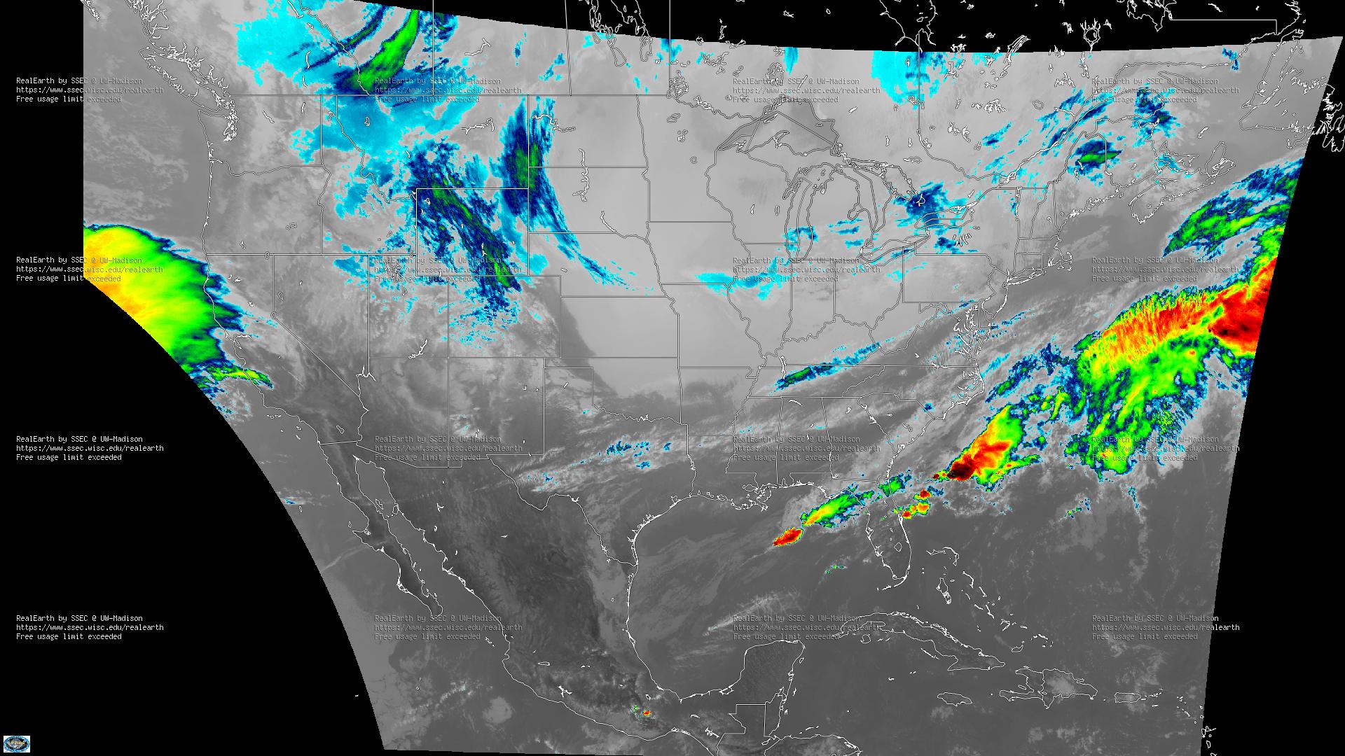 |
RealEarth by SSEC @ UW-Madison www.ssec.wisc.edu/realearth Pixel volume exceeded |
Watermarks will appear when any one of the following conditions are met:
| Watermark Text | Reason | Resolution/Price |
| Referer not allowed | Unknown HTTP Referer
|
A registered Access Key must be attached to these requests |
| Pixel volume exceeded | Pixel Volume
|
$15/mo per 1GP increment |
| Size limit exceeded | Large Imagery
|
$500/mo removes the size limit |
| GeoTIFF not allowed | Georeferenced/Navigated Imagery
|
$250/mo enables this feature |
Login here to check your usage or make purchases.
Contact us for details: realearth@ssec.wisc.edu
RealEarth Pro
If your business or organization depends on timely, quality weather information, delivered as a web mapping service, consider a RealEarth Pro subscription or contract:
- Watermark-free imagery with no volume threshold
- Dedicated and exclusive access to RealEarth content
- Custom configuration
- Priority technical support
- Possible Co-location with off-site Tier-III Facility
Contact us for details: realearth@ssec.wisc.edu